Lavoir de Montainville
Lavoir de Montainville is a building in Montainville, Arrondissement of Saint-Germain-en-Laye, Île-de-France. Lavoir de Montainville is situated nearby to the church Église de l’Assomption-de-la-Vierge de Montainville, as well as near the library Bibliothèque Municipale.| Tap on a place to explore it |
Places of Interest Nearby
Highlights include Église de l’Assomption-de-la-Vierge de Montainville and Gare de Mareil-sur-Mauldre.
Église de l’Assomption-de-la-Vierge de Montainville
Church

Photo: Spedona, CC BY-SA 3.0.
Église de l’Assomption-de-la-Vierge de Montainville is a church, which is situated 510 metres south of Lavoir de Montainville.
Gare de Mareil-sur-Mauldre
Railway station

Photo: Parisdreux, CC BY-SA 3.0.
Gare de Mareil-sur-Mauldre is a railway station, which is situated 1 km northeast of Lavoir de Montainville.
Église Saint-Martin de Mareil-sur-Mauldre
Church
 Église Saint-Martin de Mareil-sur-Mauldre is a church, which is situated 750 metres north of Lavoir de Montainville.
Places in the Area
Nearby places include Herbeville and Beynes.
Herbeville
Village
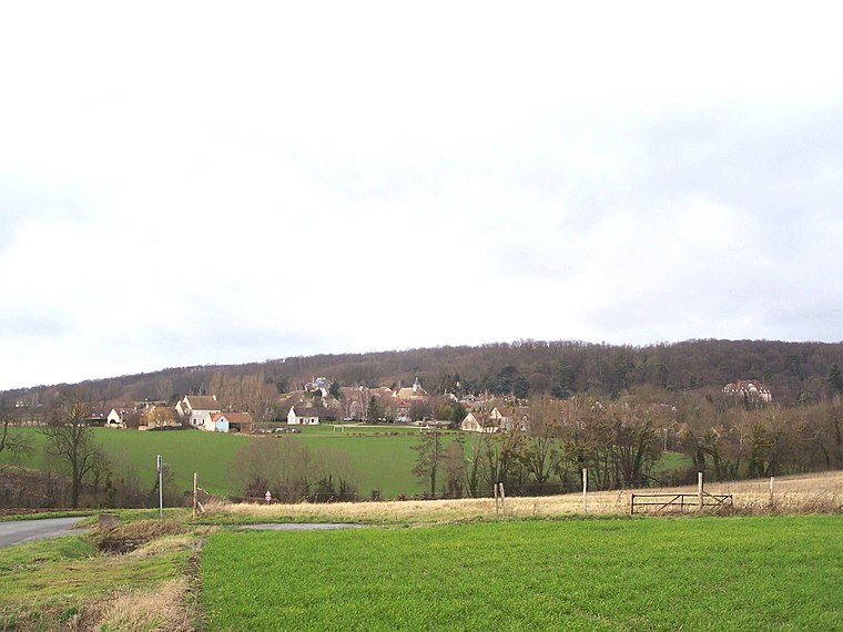
Photo: Henrysalome, CC BY-SA 3.0.
Herbeville is a commune in the Yvelines department in the Île-de-France region in north-central France. Herbeville is situated 3 km northeast of Lavoir de Montainville.
Beynes
Village

Photo: Wikimedia, CC BY-SA 3.0.
Beynes is a commune in the Yvelines department in north-central France. Beynes is situated 3½ km south of Lavoir de Montainville.
Thoiry
Village

Photo: Spedona, CC BY-SA 3.0.
Thoiry is a commune in the Yvelines department in the Île-de-France region in north-central France. It is the location of Château de Thoiry. Thoiry is situated 5 km southwest of Lavoir de Montainville.
Lavoir de Montainville
Latitude
48.88683° or 48° 53′ 13″ northLongitude
1.86222° or 1° 51′ 44″ eastOpen location code
8FW3VVP6+PVOpenStreetMap ID
way 132275298OpenStreetMap feature
amenity=lavoirOpenStreetMap feature
building=yesOpenStreetMap feature
water=yes
This page is based on OpenStreetMap, Wikidata, and Wikimedia Commons.
We’d love your help improving our open data sources. Thank you for contributing.
Satellite Map
Discover Lavoir de Montainville from above in high-definition satellite imagery.
Notable Places Nearby
Highlights include Bibliothèque Municipale and Place de la Mairie.
Nearby Places
Explore places such as Lavoir and Oratoire rue du Fort.
Île-de-France: Must-Visit Destinations
Delve into Paris, Versailles, Boulogne-Billancourt, and Paris Charles de Gaulle Airport.
Curious Buildings to Discover
Uncover intriguing buildings from every corner of the globe.
About Mapcarta. Data © OpenStreetMap contributors and available under the Open Database License". Text is available under the CC BY-SA 4.0 license, except for photos, directions, and the map. Photo: Inkey, CC BY-SA 3.0.