Pres Dieux
Pres Dieux is a building in Nézel, Arrondissement of Mantes-la-Jolie, Île-de-France. Pres Dieux is situated nearby to the railway stop Nézel - Aulnay, as well as near the church Église Saint-Blaise de Nézel.| Tap on a place to explore it |
Places of Interest Nearby
Highlights include Nézel - Aulnay and Église Saint-Blaise de Nézel.
Nézel - Aulnay
Railway stop

Photo: Parisdreux, CC BY-SA 3.0.
Nézel - Aulnay is a railway stop, which is situated 150 metres northeast of Pres Dieux.
Église Saint-Blaise de Nézel
Church

Photo: Spedona, CC BY-SA 3.0.
Église Saint-Blaise de Nézel is a church, which is situated 700 metres north of Pres Dieux.
Église Saint-Étienne d’Aulnay-sur-Mauldre
Church

Photo: Henrysalome, CC BY 2.5.
Église Saint-Étienne d’Aulnay-sur-Mauldre is a church, which is situated 1 km south of Pres Dieux.
Places in the Area
Nearby places include Sainte-Colombe and Aubergenville.

Aubergenville
Town
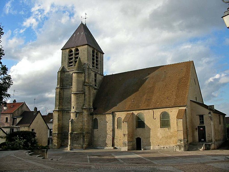
Photo: Spedona, CC BY-SA 3.0.
Aubergenville is a commune in the Yvelines department in north-central France. It is located between Mantes-la-Jolie and Saint-Germain-en-Laye, in the valley of the Seine. This city is located near the Côteau de Montgardé on the road to Normandy. Aubergenville is situated 2½ km northeast of Pres Dieux.
Herbeville
Village
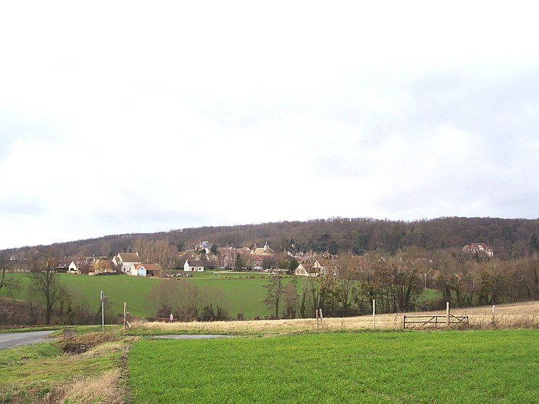
Photo: Henrysalome, CC BY-SA 3.0.
Herbeville is a commune in the Yvelines department in the Île-de-France region in north-central France. Herbeville is situated 5 km southeast of Pres Dieux.
Pres Dieux
- Type: Building
- Location: Nézel, Arrondissement of Mantes-la-Jolie, Yvelines, Île-de-France, France, Europe
- View on OpenStreetMap
Latitude
48.9376° or 48° 56′ 15″ northLongitude
1.83945° or 1° 50′ 22″ eastOperator
EnedisOpen location code
8FW3WRQQ+2QOpenStreetMap ID
way 132330875OpenStreetMap feature
building=service
This page is based on OpenStreetMap, Wikidata, and Wikimedia Commons.
We’d love your help improving our open data sources. Thank you for contributing.
Satellite Map
Discover Pres Dieux from above in high-definition satellite imagery.
Notable Places Nearby
Highlights include Nézel - Aulnay and Lavoir.
Nearby Places
Explore places such as Nezel and Gare de Nézel Aulnay.
Île-de-France: Must-Visit Destinations
Delve into Paris, Versailles, Boulogne-Billancourt, and Paris Charles de Gaulle Airport.
Curious Buildings to Discover
Uncover intriguing buildings from every corner of the globe.
About Mapcarta. Data © OpenStreetMap contributors and available under the Open Database License". Text is available under the CC BY-SA 4.0 license, except for photos, directions, and the map. Photo: Inkey, CC BY-SA 3.0.