Oasis Academy Leesbrook
Oasis Academy Leesbrook is a school in Oldham, England. Oasis Academy Leesbrook is situated nearby to the school Roundthorn Primary Academy, as well as near the church The Salvation Army - Oldham Roundthorn.| Tap on a place to explore it |
Places of Interest Nearby
Highlights include Church of St Thomas and Church of St Mark with Christchurch.
Church of St Thomas
Church

Photo: Wikimedia, CC BY-SA 2.0.
Church of St Thomas is situated 2,600 feet east of Oasis Academy Leesbrook.
Church of St Mark with Christchurch
Church
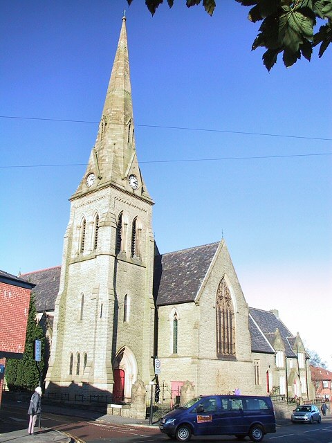
Photo: Wikimedia, CC BY-SA 2.0.
Church of St Mark with Christchurch is situated 2,800 feet west of Oasis Academy Leesbrook.
Alexandra Park
Park

Photo: Wikimedia, CC BY-SA 2.0.
Alexandra Park is a public park in Oldham, Greater Manchester, England. It was created in response to the Lancashire Cotton Famine of 1861–1865 as an attempt to keep local textile workers employed. Alexandra Park is situated 1 mile west of Oasis Academy Leesbrook.
Places in the Area
Nearby places include Lees and Glodwick.
Lees
Village

Photo: Wikimedia, CC BY-SA 2.0.
Lees is a town in the Metropolitan Borough of Oldham, Greater Manchester, England, amongst the Pennines east of the River Medlock, 1.8 miles east of Oldham, and 8.2 miles northeast of Manchester.
Glodwick
Suburb
Photo: Wikimedia, CC BY-SA 2.0.
Glodwick is an area of Oldham, Greater Manchester, England. It is south-east of Oldham town centre. Glodwick is a multi-ethnic residential area in the south of Oldham, home particularly to a large community of Pakistanis and British Pakistanis.
Alt
Suburb
Alt is a semi-rural and suburban area lying on the borders of the towns of Oldham and Ashton-under-Lyne in Greater Manchester. Alt was formerly a civil parish within the Limehurst Rural District until its abolition in 1954 when its territory was divided between the towns of Oldham and Ashton Under Lyne.
Oasis Academy Leesbrook
- Type: School
- Postal code: OL4 5JE
- Category: education
- Location: Oldham, England, United Kingdom, Britain and Ireland, Europe
- View on OpenStreetMap
Latitude
53.53482° or 53° 32′ 5″ northLongitude
-2.08419° or 2° 5′ 3″ westOperator
Oasis Community LearningOpen location code
9C5VGWM8+W8OpenStreetMap ID
way 1324887004OpenStreetMap feature
amenity=school
This page is based on OpenStreetMap, Wikidata, and Wikimedia Commons.
We’d love your help improving our open data sources. Thank you for contributing.
Satellite Map
Discover Oasis Academy Leesbrook from above in high-definition satellite imagery.
Notable Places Nearby
Highlights include Roundthorn Primary Academy and The Salvation Army - Oldham Roundthorn.
Nearby Places
Explore places such as Roundthorn Road/Primary School and Vigo Street.
England: Must-Visit Destinations
Delve into London, Manchester, Sheffield, and Leeds.
Curious Schools to Discover
Uncover intriguing schools from every corner of the globe.
About Mapcarta. Data © OpenStreetMap contributors and available under the Open Database License". Text is available under the CC BY-SA 4.0 license, except for photos, directions, and the map. Photo: sidibousaid, CC BY 2.0.