Domaine de Sisley
Domaine de Sisley is a building in Andrésy, Arrondissement of Saint-Germain-en-Laye, Île-de-France. Domaine de Sisley is situated nearby to the railway station Gare de Maurecourt, as well as near the public building Maison des associations.| Tap on a place to explore it |
Places of Interest Nearby
Highlights include Gare de Maurecourt and Town hall of Andrésy.
Gare de Maurecourt
Railway station

Photo: Henrysalome, CC BY-SA 3.0.
Gare de Maurecourt is a railway station, which is situated 210 metres east of Domaine de Sisley.
Town hall of Andrésy
Town hall

Photo: P.poschadel, CC BY-SA 4.0.
Town hall of Andrésy is situated 650 metres southeast of Domaine de Sisley.
Église Saint-Germain d’Andrésy
Church

Photo: Henrysalome, CC BY-SA 3.0.
Église Saint-Germain d’Andrésy is a church, which is situated 1 km south of Domaine de Sisley.
Places in the Area
Nearby places include Andrésy and Conflans-Sainte-Honorine.
Andrésy
Town

Photo: Henrysalome, CC BY-SA 3.0.
Andrésy is a commune in the Yvelines department in north-central France.
Conflans-Sainte-Honorine
Town

Photo: Heric, CC BY-SA 3.0.
Conflans-Sainte-Honorine is a commune in the Yvelines department in the Île-de-France region in north-central France. It is located in the northwestern suburbs of Paris, 24.2 km from the center of Paris. Conflans-Sainte-Honorine is situated 3 km east of Domaine de Sisley.
Achères
Town
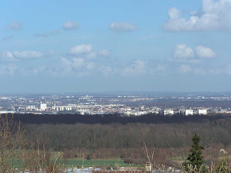
Photo: Henrysalome, CC BY-SA 3.0.
Achères is a commune in the Yvelines department in north-central France. It is located 23.7 km from the centre of Paris. The commune of Achères lies on the south bank of the Seine in a loop of the river, on the edge of the Forest of Saint-Germain-en-Laye. Achères is situated 3 km south of Domaine de Sisley.
Domaine de Sisley
- Type: Building
- Address: Andrésy, 78570
- Location: Andrésy, Arrondissement of Saint-Germain-en-Laye, Yvelines, Île-de-France, France, Europe
- View on OpenStreetMap
Latitude
48.98762° or 48° 59′ 15″ northLongitude
2.05707° or 2° 3′ 26″ eastLevels
1Open location code
8FW4X3Q4+2ROpenStreetMap ID
way 132582389OpenStreetMap feature
building=semidetached_house
This page is based on OpenStreetMap, Wikidata, and Wikimedia Commons.
We’d love your help improving our open data sources. Thank you for contributing.
Satellite Map
Discover Domaine de Sisley from above in high-definition satellite imagery.
Notable Places Nearby
Highlights include Gare de Maurecourt and Maison des associations.
Nearby Places
Explore places such as G4 and FA FB FC.
Île-de-France: Must-Visit Destinations
Delve into Paris, Versailles, Boulogne-Billancourt, and Paris Charles de Gaulle Airport.
Curious Buildings to Discover
Uncover intriguing buildings from every corner of the globe.
About Mapcarta. Data © OpenStreetMap contributors and available under the Open Database License". Text is available under the CC BY-SA 4.0 license, except for photos, directions, and the map. Photo: Inkey, CC BY-SA 3.0.