Uroczysko I
Uroczysko I is an allotment garden in Gmina Nieporęt, Legionowo County, Mazowieckie. Uroczysko I is situated nearby to Nature reserve Łęgi Czarnej Strugi, as well as near Nature reserve Puszcza Słupecka.| Tap on a place to explore it |
Places of Interest Nearby
Highlights include Nature reserve Łęgi Czarnej Strugi and Nature reserve Puszcza Słupecka.


Saint Andrew Bobola church in Marki
Church
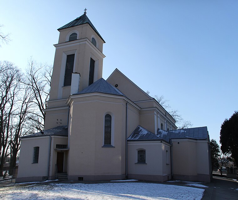
Photo: Crusier, CC BY-SA 3.0.
Saint Andrew Bobola church in Marki is situated 3 km east of Uroczysko I.
Places in the Area
Nearby places include Olesin and Augustówek.

Augustówek
Neighborhood

Photo: Andrzej Błaszczak, CC BY-SA 4.0.
Augustówek is a neighborhood, which is situated 3 km west of Uroczysko I.
Pustelnik
Quarter

Photo: Crusier, CC BY-SA 3.0.
Pustelnik is a quarter, which is situated 3 km southeast of Uroczysko I.
Uroczysko I
- Type: Allotment garden
- Location: Gmina Nieporęt, Legionowo County, Mazowieckie, Poland, Central Europe, Europe
- View on OpenStreetMap
Latitude
52.36492° or 52° 21′ 54″ northLongitude
21.09509° or 21° 5′ 42″ eastOpen location code
9G43937W+X2OpenStreetMap ID
way 132962143OpenStreetMap feature
landuse=allotments
This page is based on OpenStreetMap, Wikidata, and Wikimedia Commons.
We’d love your help improving our open data sources. Thank you for contributing.
Satellite Map
Discover Uroczysko I from above in high-definition satellite imagery.
Notable Places Nearby
Highlights include Górka saneczkowa and Tor rowerowy Pumptrack.
Nearby Places
Explore places such as 14 and Mogiła żołnierska.
Mazowieckie: Must-Visit Destinations
Delve into Warsaw, Śródmieście, Radom, and Płock.
Curious Allotment Gardens to Discover
Uncover intriguing allotment gardens from every corner of the globe.
About Mapcarta. Data © OpenStreetMap contributors and available under the Open Database License". Text is available under the CC BY-SA 4.0 license, except for photos, directions, and the map. Photo: Sicherlich, CC BY 3.0.