Albert Mews
Albert Mews is a residential area in Fleet, Hart District, England. Albert Mews is situated nearby to the health club Results, as well as near the pub The Prince Arthur.| Tap on a place to explore it |
Places of Interest Nearby
Highlights include Fleet Library and Fleet War Memorial.
Fleet Library
Library

Photo: Sandy B, CC BY-SA 2.0.
Fleet Library is situated 620 feet northwest of Albert Mews.
Fleet War Memorial
Memorial

Photo: Christine Matthews, CC BY-SA 2.0.
Fleet War Memorial is situated 550 feet northwest of Albert Mews.
The Prince Arthur
Pub
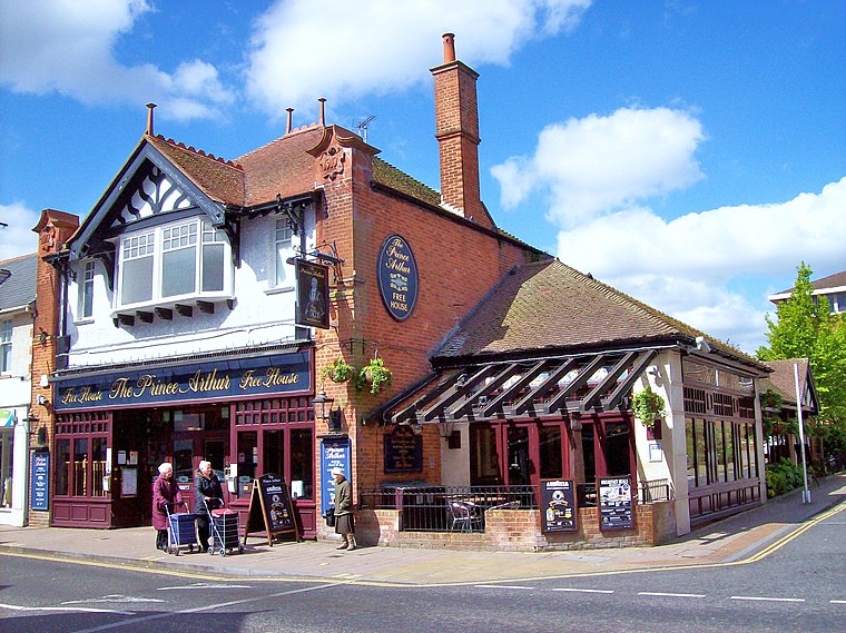
Photo: Len Williams, CC BY-SA 2.0.
The Prince Arthur is a pub, which is situated 470 feet northwest of Albert Mews.
Places in the Area
Nearby places include Minley and Cove.
Minley
Village
Minley is a slightly depopulated rural, well-wooded village in the Hart District of Hampshire, England. It has the only church of the C of E ecclesiastical parish of Minley and is in the civil parish of Blackwater and Hawley. Minley is situated 3 miles north of Albert Mews.
Cove
Neighborhood

Photo: Michael FORD, CC BY-SA 2.0.
Cove is an ancient village turned suburb, forming the western part of Farnborough, in the Rushmoor district, in the county of Hampshire, England. The appropriate ward is called Cove and Southwood. Cove is situated 3 miles northeast of Albert Mews.
Phoenix Green
Village
Phoenix Green is a village in the Hart District of Hampshire, England about 1 mile southwest of Hartley Wintney. It has a petrol station and one pub, named The Phoenix. Phoenix Green is situated 3 miles northwest of Albert Mews.
Albert Mews
Latitude
51.27801° or 51° 16′ 41″ northLongitude
-0.8438° or 0° 50′ 38″ westOpen location code
9C3X75H4+6FOpenStreetMap ID
way 1329842892OpenStreetMap feature
landuse=residential
This page is based on OpenStreetMap, Wikidata, and Wikimedia Commons.
We’d love your help improving our open data sources. Thank you for contributing.
Satellite Map
Discover Albert Mews from above in high-definition satellite imagery.
Places with the Same Name
Discover other places named “Albert Mews”.
Notable Places Nearby
Highlights include Results and Fleet Saturday Market.
Nearby Places
Explore places such as Albert Street and Woodman Court.
Hampshire: Must-Visit Destinations
Delve into Southampton, Portsmouth, Winchester, and Farnborough.
Curious Residential Areas to Discover
Uncover intriguing residential areas from every corner of the globe.
About Mapcarta. Data © OpenStreetMap contributors and available under the Open Database License". Text is available under the CC BY-SA 4.0 license, except for photos, directions, and the map. Photo: Martinvl, CC BY-SA 4.0.