Lyceum Oude Hoven
Lyceum Oude Hoven is a school in Gorinchem, Alblasserwaard-Drechtsteden, South Holland. Lyceum Oude Hoven is situated nearby to the mosque Suleyman Celebi Moskee, as well as near the sports venue De Hoefslag.| Tap on a place to explore it |
Places of Interest Nearby
Highlights include Gorinchem railway station and Koepelkerk, Arkel.
Gorinchem railway station
Railway station
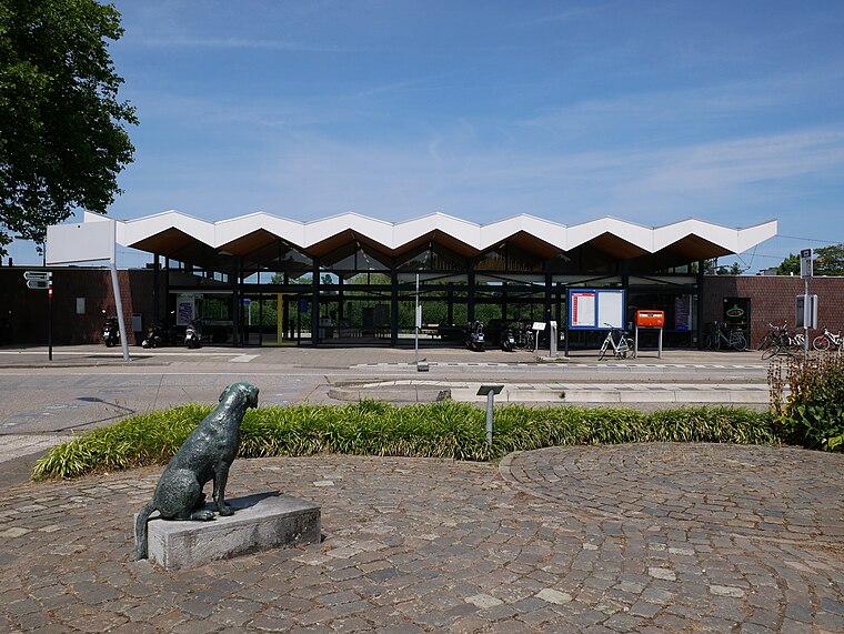
Photo: Fantaglobe11, CC BY-SA 4.0.
Gorinchem is a railway station in the town of Gorinchem, Netherlands. It is on the MerwedeLingelijn. It was opened on 1 December 1883. Train services are operated by Qbuzz. Gorinchem railway station is situated 1½ km south of Lyceum Oude Hoven.
Koepelkerk, Arkel
Church

Photo: Wikimedia, CC BY-SA 4.0.
Koepelkerk, Arkel is a church, which is situated 1½ km east of Lyceum Oude Hoven.
Lokroep
Work of art

Photo: Wikifrits, CC BY-SA 3.0.
Lokroep is a work of art, which is situated 1 km southeast of Lyceum Oude Hoven.
Places in the Area
Nearby places include Arkel and Hoogblokland.
Arkel
Village
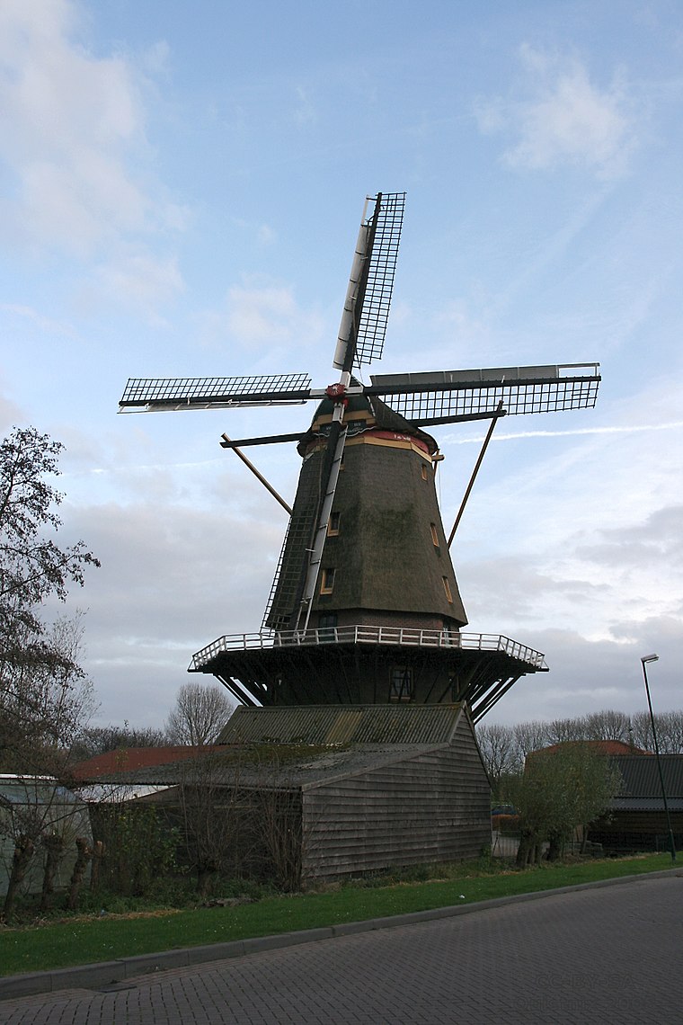
Photo: Quistnix, CC BY-SA 2.5.
Arkel is a town in the province of South Holland, Netherlands. A part of the municipality of Molenlanden, it lies about 3 km north of Gorinchem. Arkel is a former municipality; in 1986 it became part of Giessenlanden.
Hoogblokland
Village

Photo: Jan dijkstra, CC BY-SA 3.0.
Hoogblokland is a village in the Dutch province of South Holland. It is a part of the municipality of Molenlanden, and lies about 4 km north of Gorinchem. Hoogblokland is situated 3 km north of Lyceum Oude Hoven.
Schelluinen
Village
Schelluinen is a village in the Dutch province of South Holland. It is a part of the municipality of Molenlanden, and lies about 4 km west of Gorinchem. Schelluinen is situated 3½ km west of Lyceum Oude Hoven.
Lyceum Oude Hoven
- Type: School
- Denomination: Protestant
- Category: education
- Location: Gorinchem, Alblasserwaard-Drechtsteden, South Holland, Western Netherlands, Netherlands, Benelux, Europe
- View on OpenStreetMap
Latitude
51.84853° or 51° 50′ 55″ northLongitude
4.9723° or 4° 58′ 20″ eastOperator
Willem van Oranje OnderwijsgroepOpen location code
9F36RXXC+CWOpenStreetMap ID
way 133547817OpenStreetMap feature
amenity=schoolOpenStreetMap attribute
denomination=protestant
This page is based on OpenStreetMap, Wikidata, and Wikimedia Commons.
We’d love your help improving our open data sources. Thank you for contributing.
Satellite Map
Discover Lyceum Oude Hoven from above in high-definition satellite imagery.
Notable Places Nearby
Highlights include Suleyman Celebi Moskee and De Hoefslag.
Nearby Places
Explore places such as Beatrix-de Burcht and Hoefslag.
Alblasserwaard-Drechtsteden: Must-Visit Destinations
Delve into Dordrecht, Kinderdijk, Sliedrecht, and Zwijndrechtse Waard.
Curious Schools to Discover
Uncover intriguing schools from every corner of the globe.
About Mapcarta. Data © OpenStreetMap contributors and available under the Open Database License". Text is available under the CC BY-SA 4.0 license, except for photos, directions, and the map. Photo: Torsade de Pointes, CC0.