Catterton Wood
Catterton Wood is a forest in Tadcaster, Selby District, England. Catterton Wood is situated nearby to the hamlet Oxton, as well as near the locality Steeton.| Tap on a place to explore it |
Places of Interest
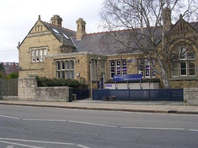
Highlights include Healaugh Park Priory and Tadcaster Library.
Healaugh Park Priory
Archaeological site

Photo: Sean Diver, CC BY-SA 2.0.
Healaugh Park Priory was an Augustinian priory in Healaugh, North Yorkshire, England, some 2 miles north of Tadcaster. The present building is a two-storey construction of Magnesian limestone ashlar, with Welsh slate roof and brick chimney stacks and is Grade II* listed.
Tadcaster Bridge
Bridge
 Tadcaster Bridge or Wharfe Bridge spans the River Wharfe in Tadcaster, North Yorkshire, England. The road bridge is believed to date from around 1700. It is the main route connecting the two sides of the town and one of two road crossings in the town, the other being the bridge for the A64 bypass.
Places in the Area
Nearby places include Bilbrough and Healaugh.
Bilbrough
Hamlet

Photo: Wikimedia, CC BY-SA 2.0.
Bilbrough is a village and civil parish in the county of North Yorkshire, England, 6 miles south-west of York, and just outside the York city boundary.
Healaugh
Hamlet

Photo: DS Pugh, CC BY-SA 2.0.
Healaugh is a village and civil parish in the county of North Yorkshire, England. According to the 2001 census it had a population of 161 in 63 households.
Askham Richard
Village

Photo: Wikimedia, CC BY-SA 2.0.
Askham Richard is a village and civil parish in the unitary authority of City of York in the north of England, 6.5 miles south-west of York, close to Copmanthorpe, Bilbrough and Askham Bryan.
Catterton Wood
- Type: Forest
- Location: Tadcaster, Selby District, North Yorkshire, Yorkshire, England, United Kingdom, Britain and Ireland, Europe
- View on OpenStreetMap
Latitude
53.8967° or 53° 53′ 48″ northLongitude
-1.2356° or 1° 14′ 8″ westOpen location code
9C5WVQW7+MQOpenStreetMap ID
way 1337176475OpenStreetMap feature
natural=wood
This page is based on OpenStreetMap, Wikidata, and Wikimedia Commons.
We’d love your help improving our open data sources. Thank you for contributing.
Satellite Map
Discover Catterton Wood from above in high-definition satellite imagery.
Localities in the Area
Explore places such as Catterton and Oxton.
Notable Places Nearby
Highlights include Catterton Rash and Catterton Hall.
North Yorkshire: Must-Visit Destinations
Delve into York, Middlesbrough, Harrogate, and Ripon.
Curious Forests to Discover
Uncover intriguing forests from every corner of the globe.
About Mapcarta. Data © OpenStreetMap contributors and available under the Open Database License". Text is available under the CC BY-SA 4.0 license, except for photos, directions, and the map. Photo: Tim Green, CC BY 2.0.