Eckling Grange
Eckling Grange is a social service facility in Dereham, Breckland District, England which is located on Norwich Road. Eckling Grange is situated nearby to the church Kingdom Hall of Jehovah’s Witnesses, as well as near the park Neatherd Moor - Open Access Land.| Tap on a place to explore it |
- Email: stewart.barber@ecklinggrange.org.uk
- Type: Social service facility
- Address: Norwich Road, Dereham, NR20 3BB
Places of Interest Nearby
Highlights include Dereham Neatherd High School and Dereham railway station.
Dereham Neatherd High School
School
Dereham Neatherd High School is a high school situated in Dereham, Norfolk, England. It is a co-educational comprehensive school, for ages 11–16. Dereham Neatherd High School is situated 2,300 feet west of Eckling Grange.
Dereham railway station
Railway station

Photo: DiverScout, CC BY-SA 3.0.
Dereham railway station is currently the northern terminus of the Mid-Norfolk Railway, a heritage line that operates services to Wymondham Abbey. It is located in the town of Dereham, in the English county of Norfolk. Dereham railway station is situated 1 mile west of Eckling Grange.
Corn Exchange, Dereham
Movie theater
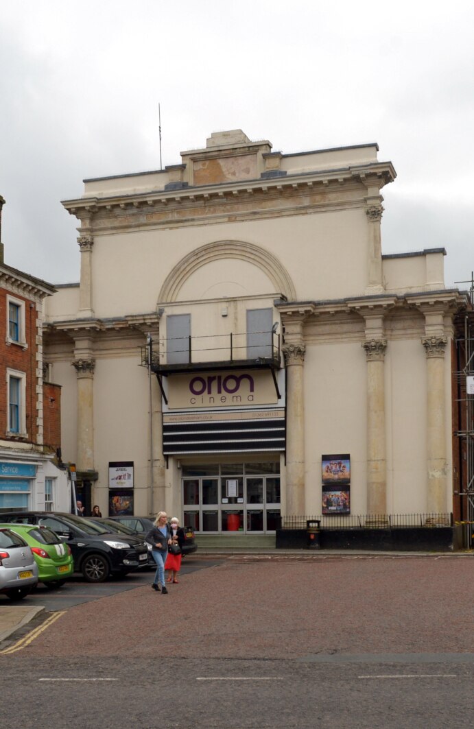
Photo: Wikimedia, CC BY-SA 2.0.
The Corn Exchange is a commercial building in the Market Place, Dereham, Norfolk, England. The structure, which is used as a cinema, is a Grade II listed building. Corn Exchange, Dereham is situated 1¼ miles west of Eckling Grange.
Places in the Area
Nearby places include Yaxham and Swanton Morley.
Yaxham
Village

Photo: Pommes104, CC BY-SA 3.0.
Yaxham is a village and civil parish in centre of the English county of Norfolk. The parish includes the village of Yaxham, together with the neighbouring community of Clint Green and the hamlet of Brakefield Green. Yaxham is situated 1½ miles south of Eckling Grange.
Swanton Morley
Village

Photo: John Salmon, CC BY-SA 2.0.
Swanton Morley is a village and civil parish situated in the English county of Norfolk. It is situated in the heart of Norfolk 18 miles from the centre of Norwich and three miles from Dereham, at the geographical centre of Norfolk. Swanton Morley is situated 2 miles north of Eckling Grange.
Brakefield Green
Village
Brakefield Green is a hamlet in Norfolk, England. The population is included in the civil parish of Yaxham. Brakefield Green is situated 2½ miles southeast of Eckling Grange.
Eckling Grange
Latitude
52.67919° or 52° 40′ 45″ northLongitude
0.9678° or 0° 58′ 4″ eastOpen location code
9F42MXH9+M4OpenStreetMap ID
way 1339066075OpenStreetMap feature
amenity=social_facility
This page is based on OpenStreetMap, Wikidata, and Wikimedia Commons.
We’d love your help improving our open data sources. Thank you for contributing.
Satellite Map
Discover Eckling Grange from above in high-definition satellite imagery.
Notable Places Nearby
Highlights include Kingdom Hall of Jehovah’s Witnesses and Neatherd Moor - Open Access Land.
Nearby Places
Explore places such as B & M Assessors and Windmill Avenue, adj.
Norfolk: Must-Visit Destinations
Delve into Norwich, Great Yarmouth, King’s Lynn, and Norfolk Broads.
Curious Social Service Facilities to Discover
Uncover intriguing social service facilities from every corner of the globe.
About Mapcarta. Data © OpenStreetMap contributors and available under the Open Database License". Text is available under the CC BY-SA 4.0 license, except for photos, directions, and the map. Photo: Charlesdrakew, Public domain.