H2 Hotel
H2 Hotel is a parking area in Düsseldorf, Lower Rhine, North Rhine-Westphalia. H2 Hotel is situated nearby to Düsseldorf-Seestern, as well as near the health club Fit X.| Tap on a place to explore it |
Places of Interest Nearby
Highlights include Rank-Xerox-Haus and Horten-Hauptverwaltungsgebäude.

Horten-Hauptverwaltungsgebäude
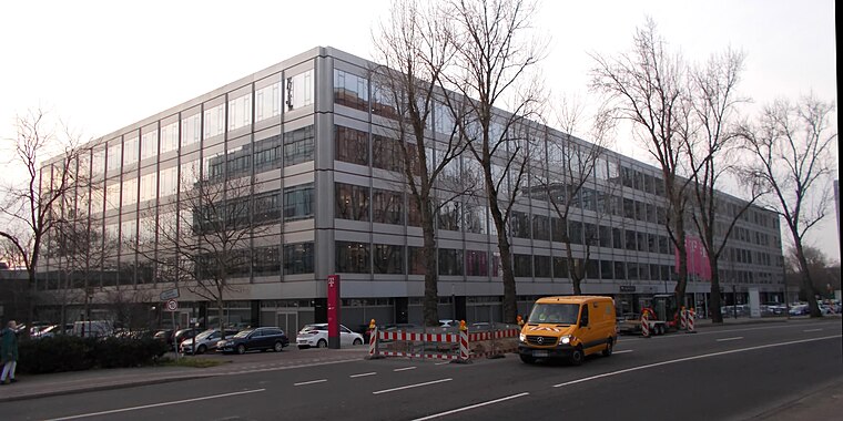
Photo: Timo.gransch, CC BY-SA 4.0.
Horten-Hauptverwaltungsgebäude is situated 230 metres southeast of H2 Hotel.
Philippuskirche
Church

Photo: Wiegels, CC BY-SA 3.0.
Philippuskirche is a church, which is situated 740 metres west of H2 Hotel.
Places in the Area
Nearby places include Düsseldorf-Niederkassel and Düsseldorf-Golzheim.
Düsseldorf-Niederkassel
Suburb

Photo: Gakuro, CC BY-SA 3.0.
Niederkassel is a quarter of the city of Düsseldorf, part of Borough 4. It is located on the west side of the river Rhine, bordering Oberkassel and Lörick.
Düsseldorf-Golzheim
Suburb
Golzheim is a quarter of Düsseldorf in Borough 1 on the Rhine, just north of the city center. It is primarily a business and hotel district, but retains some of the old stately villas.
Heerdt
Suburb
Heerdt is one of the older quarters of the city of Düsseldorf, part of Borough 4. Heerdt and its neighbouring quarters Oberkassel, Niederkassel and Lörick lie on the left side of the river Rhine, opposite to the other districts of Düsseldorf and the central district.
H2 Hotel
- Type: Parking area
- Parking: surface
- Category: transportation
- Location: Düsseldorf, Düsseldorf, Lower Rhine, North Rhine-Westphalia, Germany, Central Europe, Europe
- View on OpenStreetMap
Latitude
51.24297° or 51° 14′ 35″ northLongitude
6.73858° or 6° 44′ 19″ eastOpen location code
9F386PVQ+5COpenStreetMap ID
way 1339608825OpenStreetMap feature
amenity=parkingOpenStreetMap attribute
parking=surface
This page is based on OpenStreetMap, Wikidata, and Wikimedia Commons.
We’d love your help improving our open data sources. Thank you for contributing.
Satellite Map
Discover H2 Hotel from above in high-definition satellite imagery.
Places with the Same Name
Discover other places named “H2 Hotel”.
Notable Places Nearby
Highlights include Düsseldorf-Seestern and Fit X.
Nearby Places
Explore places such as SYSTECH Europe Guest parking and Systech Europe.
Lower Rhine: Must-Visit Destinations
Delve into Mönchengladbach, Krefeld, Neuss, and Kleve.
Curious Parking Areas to Discover
Uncover intriguing parking areas from every corner of the globe.
About Mapcarta. Data © OpenStreetMap contributors and available under the Open Database License". Text is available under the CC BY-SA 4.0 license, except for photos, directions, and the map. Photo: Steff, CC BY-SA 3.0.