Centre Opérationnel Bus - Poissy
Centre Opérationnel Bus - Poissy is in Poissy, Arrondissement of Saint-Germain-en-Laye, Île-de-France. Centre Opérationnel Bus - Poissy is situated nearby to the post office Point poste, as well as near the college Institut de formation Jean Brudon.| Tap on a place to explore it |
Places of Interest Nearby
Highlights include Léo-Lagrange stadium and Île Saint-Louis.
Léo-Lagrange stadium
Sports venue

Photo: Xavoun, CC BY-SA 3.0.
Léo-Lagrange stadium is a sports venue, which is situated 1 km south of Centre Opérationnel Bus - Poissy.
Île Saint-Louis
Islet

Photo: Wikimedia, Public domain.
Île Saint-Louis is an islet, which is situated 1¼ km west of Centre Opérationnel Bus - Poissy.
Town hall of Achères
Town hall

Photo: Henrysalome, CC BY-SA 3.0.
Town hall of Achères is situated 2 km north of Centre Opérationnel Bus - Poissy.
Places in the Area
Nearby places include Achères and Carrières-sous-Poissy.
Achères
Town
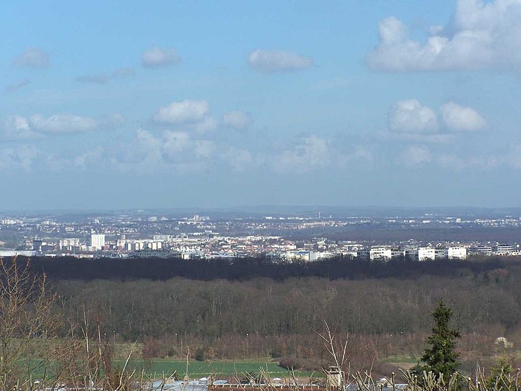
Photo: Henrysalome, CC BY-SA 3.0.
Achères is a commune in the Yvelines department in north-central France. It is located 23.7 km from the centre of Paris. The commune of Achères lies on the south bank of the Seine in a loop of the river, on the edge of the Forest of Saint-Germain-en-Laye.
Carrières-sous-Poissy
Town

Photo: Resize, CC BY-SA 3.0.
Carrières-sous-Poissy is a commune in the Yvelines department in the Île-de-France region in north-central France. The town sits on the bank of the Seine River, directly opposite the commune of Poissy.
Poissy
Town

Photo: Urbain.romain, CC BY-SA 4.0.
Poissy is a commune in the Yvelines department in the Île-de-France region in north-central France. It is located in the western suburbs of Paris, 23.8 km from the centre of Paris. Poissy is situated 2½ km southwest of Centre Opérationnel Bus - Poissy.
Centre Opérationnel Bus - Poissy
- Type: Industry
- Location: Poissy, Arrondissement of Saint-Germain-en-Laye, Yvelines, Île-de-France, France, Europe
- View on OpenStreetMap
Latitude
48.94537° or 48° 56′ 43″ northLongitude
2.06251° or 2° 3′ 45″ eastOperator
Transdev Boucle des LysOpen location code
8FW4W3W7+42OpenStreetMap ID
way 1341023968OpenStreetMap feature
landuse=industrial
This page is based on OpenStreetMap, Wikidata, and Wikimedia Commons.
We’d love your help improving our open data sources. Thank you for contributing.
Satellite Map
Discover Centre Opérationnel Bus - Poissy from above in high-definition satellite imagery.
Notable Places Nearby
Highlights include Point poste and Institut de formation Jean Brudon.
Nearby Places
Explore places such as Leymarie/EGEA and Dailycer/Sorelia.
Île-de-France: Must-Visit Destinations
Delve into Paris, Versailles, Boulogne-Billancourt, and Paris Charles de Gaulle Airport.
Curious Places to Discover
Uncover intriguing places from every corner of the globe.
About Mapcarta. Data © OpenStreetMap contributors and available under the Open Database License". Text is available under the CC BY-SA 4.0 license, except for photos, directions, and the map. Photo: Inkey, CC BY-SA 3.0.