Balili Barangay Health Center
Balili Barangay Health Center is a building in Valencia (Luzurriaga), Negros Oriental, Central Visayas, Davao Region. Balili Barangay Health Center is situated nearby to the town hall Balili Barangay Hall, as well as near Balili Barangay Library.| Tap on a place to explore it |
Places in the Area
Nearby places include Valencia and Sibulan.
Valencia
Town

Photo: TheCoffee, Public domain.
Valencia, officially the Municipality of Valencia, is a municipality in the province of Negros Oriental, Philippines. According to the 2020 census, it has a population of 38,733 people. Valencia is situated 4½ km south of Balili Barangay Health Center.
Sibulan
Town
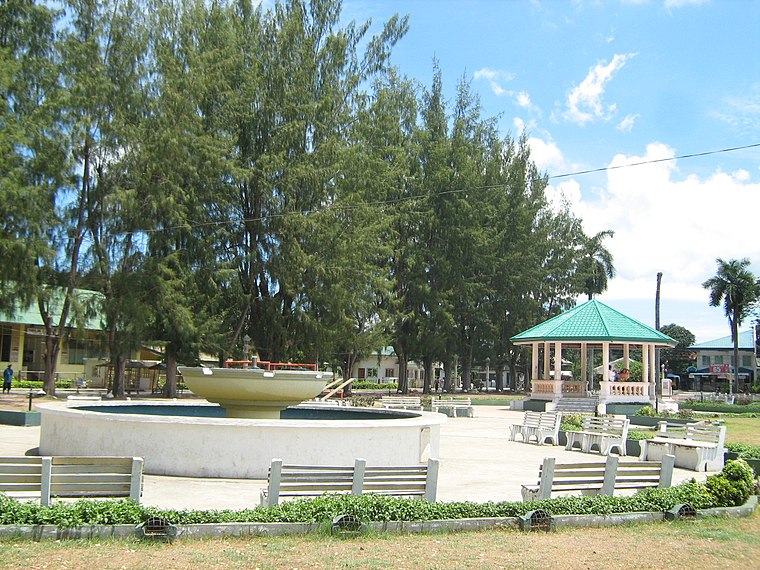
Photo: TheCoffee, CC BY-SA 3.0.
Sibulan, officially the Municipality of Sibulan, is a municipality in the province of Negros Oriental, Philippines. According to the 2020 census, it has a population of 64,343 people. Sibulan is situated 7 km northeast of Balili Barangay Health Center.
Dumaguete

Photo: MarionPaulBaylado, CC BY-SA 3.0.
Dumaguete is the capital city and main port of Negros Oriental, the province that occupies the south-eastern part of Negros Island, in the Philippines.
Balili Barangay Health Center
- Type: Health care
- Address: Balili
- Categories: building and public building
- Location: Valencia (Luzurriaga), Negros Oriental, Central Visayas, Visayas, Municipality of Santo Tomas, Davao del Norte, Davao Region, Mindanao, Philippines, Southeast Asia, Asia
- View on OpenStreetMap
Latitude
9.31859° or 9° 19′ 7″ northLongitude
123.23091° or 123° 13′ 51″ eastOpen location code
6QX5869J+C9OpenStreetMap ID
way 1345491049OpenStreetMap feature
amenity=health_postOpenStreetMap feature
building=civicOpenStreetMap feature
healthcare=community_health_worker
This page is based on OpenStreetMap, Wikidata, and Wikimedia Commons.
We’d love your help improving our open data sources. Thank you for contributing.
Satellite Map
Discover Balili Barangay Health Center from above in high-definition satellite imagery.
Notable Places Nearby
Highlights include Balili Barangay Hall and Balili Barangay Library.
Nearby Places
Explore places such as Balili Elementary School and Alcazar’s Residence.
Negros Oriental: Must-Visit Destinations
Delve into Dumaguete, Bayawan, Bais, and Guihulngan.
Curious Places to Discover
Uncover intriguing places from every corner of the globe.
About Mapcarta. Data © OpenStreetMap contributors and available under the Open Database License". Text is available under the CC BY-SA 4.0 license, except for photos, directions, and the map. Photo: MarionPaulBaylado, CC BY-SA 3.0.