Kitchen & Dining Cabin
Kitchen & Dining Cabin is a building in Lickey and Blackwell, Bromsgrove District, England. Kitchen & Dining Cabin is situated nearby to the sports venue High Ropes, as well as near Junior Tree Trek.| Tap on a place to explore it |
Places of Interest Nearby
Highlights include Barnt Green railway station and Artrix.
Barnt Green railway station
Railway station

Photo: Phil Champion, CC BY-SA 2.0.
Barnt Green railway station serves the village of Barnt Green, North Worcestershire, England. It is situated 9+1⁄2 miles south west of Birmingham New Street. Barnt Green railway station is situated 1½ miles northeast of Kitchen & Dining Cabin.
Artrix
Arts center
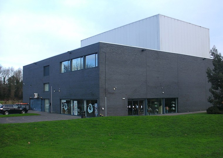
Photo: PicturePrince, CC BY-SA 4.0.
Artrix is an arts venue in Bromsgrove, England, located on School Drive just outside the town centre. The building was constructed between 2004 and 2005 on a green field site sold off by the Heart of Worcestershire College Bromsgrove campus in 1999 and the Bromsgrove 'Blue Light' centre. Artrix is situated 1½ miles west of Kitchen & Dining Cabin.
Hewell Grange
Manor estate

Photo: Leonig Mig, CC BY-SA 3.0.
Hewell Grange is a former country house in Tardebigge, Worcestershire, England. "One of the most important late 19th century country houses in England", the mansion was built between 1884 and 1891 by George Frederick Bodley and Thomas Garner for Robert Windsor-Clive, later first Earl of Plymouth. Hewell Grange is situated 2 miles southeast of Kitchen & Dining Cabin.
Places in the Area
Nearby places include Blackwell and Burcot.
Blackwell
Village

Photo: Roy Hughes, CC BY-SA 2.0.
Blackwell is a village located in the North-East of Worcestershire and comes under the jurisdiction of Lickey and Blackwell Parish Council. Nearby large towns include Barnt Green and Bromsgrove. Worcester and Birmingham are also influential.
Burcot
Village

Photo: Roy Hughes, CC BY-SA 2.0.
Burcot is a small village in the Bromsgrove district of Worcestershire, England. Burcot has a village hall, which is available for hire. It has a Guild of Craftsmen. The village was listed in the Domesday Book in 1086 when it was known as Bericote.
Tutnall
Village

Photo: Stephen Richards, CC BY-SA 2.0.
Tutnall is a village in the Bromsgrove district of Worcestershire. It is in the civil parish of Tutnall and Cobley which has a population of 1,543. The A448 used to run through the centre of the village, though this is now bypassed by a modern dual carriageway.
Kitchen & Dining Cabin
Latitude
52.34257° or 52° 20′ 33″ northLongitude
-2.01082° or 2° 0′ 39″ westOpen location code
9C4V8XVQ+2MOpenStreetMap ID
way 1347694025OpenStreetMap feature
building=yes
This page is based on OpenStreetMap, Wikidata, and Wikimedia Commons.
We’d love your help improving our open data sources. Thank you for contributing.
Satellite Map
Discover Kitchen & Dining Cabin from above in high-definition satellite imagery.
Notable Places Nearby
Highlights include High Ropes and Junior Tree Trek.
Nearby Places
Explore places such as Sleeping Pod and Leaders Pod.
Worcestershire: Must-Visit Destinations
Delve into Worcester, Redditch, Kidderminster, and Evesham.
Curious Buildings to Discover
Uncover intriguing buildings from every corner of the globe.
About Mapcarta. Data © OpenStreetMap contributors and available under the Open Database License". Text is available under the CC BY-SA 4.0 license, except for photos, directions, and the map. Photo: brianac37, CC BY 2.0.