Hendrik Oosterveldbos
Hendrik Oosterveldbos is a park in Assen, Drenthe. Hendrik Oosterveldbos is situated nearby to the pond Dobbe, as well as near the hamlet Anreep.| Tap on a place to explore it |
Places of Interest Nearby
Highlights include Assen railway station and Adventskerk, Assen.
Assen railway station
Railway station
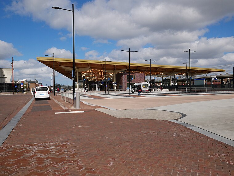
Photo: Fantaglobe11, CC BY-SA 4.0.
Assen is a railway station located in Assen, Netherlands. The station was opened on 1 May 1870 and is located on the Meppel–Groningen railway. The station is operated by Nederlandse Spoorwegen. Assen railway station is situated 2 km north of Hendrik Oosterveldbos.
Adventskerk, Assen
Church

Photo: RomkeHoekstra, CC BY-SA 4.0.
Adventskerk, Assen is a church, which is situated 1 km north of Hendrik Oosterveldbos.
Lancaster monument
Memorial

Photo: Sanderknol, CC BY-SA 3.0 nl.
Lancaster monument is a memorial, which is situated 1¼ km south of Hendrik Oosterveldbos.
Places in the Area
Nearby places include Anreep and Schieven.
Anreep
Hamlet
Anreep is a hamlet in the Netherlands and is part of the Assen municipality in Drenthe. Anreep is a statistical entity with Schieven, however the postal authority have placed it under Assen.
Schieven
Hamlet
Schieven is a hamlet in the Netherlands and is part of the Assen municipality in Drenthe. Schieven is a statistical entity with Anreep, however the postal authority have placed it under Assen.
Ekehaar
Village
Ekehaar is a village in the Dutch province of Drenthe. It is a part of the municipality of Aa en Hunze, and lies about 6 km south of Assen. Ekehaar is situated 3 km southeast of Hendrik Oosterveldbos.
Hendrik Oosterveldbos
- Type: Park
- Category: recreation area
- Location: Assen, Drenthe, Northern Netherlands, Netherlands, Benelux, Europe
- View on OpenStreetMap
Latitude
52.97463° or 52° 58′ 29″ northLongitude
6.57638° or 6° 34′ 35″ eastOperator
Het Drentse LandschapOpen location code
9F48XHFG+VHOpenStreetMap ID
way 1349031692OpenStreetMap feature
leisure=park
This page is based on OpenStreetMap, Wikidata, and Wikimedia Commons.
We’d love your help improving our open data sources. Thank you for contributing.
Satellite Map
Discover Hendrik Oosterveldbos from above in high-definition satellite imagery.
Notable Places Nearby
Highlights include Dobbe and De Duif.
Nearby Places
Explore places such as FPK and Park Diepstroeten.
Drenthe: Must-Visit Destinations
Delve into Hoogeveen, Meppel, Coevorden, and Aa en Hunze.
Curious Parks to Discover
Uncover intriguing parks from every corner of the globe.
About Mapcarta. Data © OpenStreetMap contributors and available under the Open Database License". Text is available under the CC BY-SA 4.0 license, except for photos, directions, and the map. Photo: Elgaard, CC BY-SA 3.0.