Salter Road
Salter Road is a bridge in England, United Kingdom. Salter Road is situated nearby to the hostel YHA London Thameside, as well as near Mayflower Park.| Tap on a place to explore it |
Places of Interest Nearby
Highlights include Rotherhithe railway station and Tower Bridge.
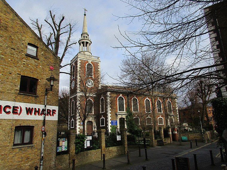
Rotherhithe railway station
Railway station

Photo: Prioryman, CC BY-SA 3.0.
Rotherhithe is a station on the Windrush line of the London Overground, located on the southern bank of the River Thames at Rotherhithe within the London Borough of Southwark. Rotherhithe railway station is situated 1,400 feet southwest of Salter Road.
Tower Bridge
Bridge

Photo: Barcex, CC BY-SA 3.0.
Tower Bridge is a Grade I listed combined bascule, suspension, and, until 1960, cantilever bridge in London, built between 1886 and 1894, designed by Horace Jones and engineered by John Wolfe Barry with the help of Henry Marc Brunel. Tower Bridge is situated 1¼ miles west of Salter Road.
Wapping railway station
Railway station

Photo: Nick-D, CC BY-SA 4.0.
Wapping is a station on the Windrush line of the London Overground, located on the northern bank of the River Thames in Wapping within the London Borough of Tower Hamlets. Wapping railway station is situated 2,000 feet west of Salter Road.
Places in the Area
Nearby places include Rotherhithe and Execution Dock.
Rotherhithe
Suburb
 Rotherhithe is a district of South London, England, and part of the London Borough of Southwark. It is on a peninsula on the south bank of the Thames, facing Wapping, Shadwell and Limehouse on the north bank, with the Isle of Dogs to the east.
Execution Dock
Locality
Execution Dock was a site on the River Thames near the shoreline at Wapping, London, that was used for more than 400 years to execute pirates, smugglers and mutineers who had been sentenced to death by Admiralty courts.
Shadwell
Suburb
Photo: Tarquin Binary, CC BY-SA 2.5.
Shadwell is an area in the London Borough of Tower Hamlets in East London, England. It also forms part of the city's East End. Shadwell is on the north bank of the River Thames between Wapping and Ratcliff and Limehouse and is 3 miles east of Charing Cross.
Salter Road
- Type: Bridge
- Category: transportation
- Location: England, United Kingdom, Britain and Ireland, Europe
- View on OpenStreetMap
Latitude
51.50345° or 51° 30′ 12″ northLongitude
-0.04742° or 0° 2′ 51″ westOpen location code
9C3XGX33+92OpenStreetMap ID
way 1355976481OpenStreetMap feature
man_made=bridge
This page is based on OpenStreetMap, Wikidata, and Wikimedia Commons.
We’d love your help improving our open data sources. Thank you for contributing.
Satellite Map
Discover Salter Road from above in high-definition satellite imagery.
Notable Places Nearby
Highlights include YHA London Thameside and Mayflower Park.
Nearby Places
Explore places such as Rotherithe Waterside (Abbeyfield) and Smith Close.
England: Must-Visit Destinations
Delve into London, Manchester, Sheffield, and Leeds.
Curious Bridges to Discover
Uncover intriguing bridges from every corner of the globe.
About Mapcarta. Data © OpenStreetMap contributors and available under the Open Database License". Text is available under the CC BY-SA 4.0 license, except for photos, directions, and the map. Photo: sidibousaid, CC BY 2.0.