Singendonkshof
Singendonkshof is a farm in Kevelaer, Kleve, North Rhine-Westphalia. Singendonkshof is situated nearby to the playground Spielplatz Jupp-Sieben-Straße, as well as near the fire station Fw Kapellen.| Tap on a place to explore it |
Places of Interest Nearby
Highlights include Sankt Maria Magdalena and Honselaerer Mühle.
Sankt Maria Magdalena
Church

Photo: Eimann, CC BY-SA 2.0 de.
Sankt Maria Magdalena is a church, which is situated 4 km northeast of Singendonkshof.
Honselaerer Mühle
Farm
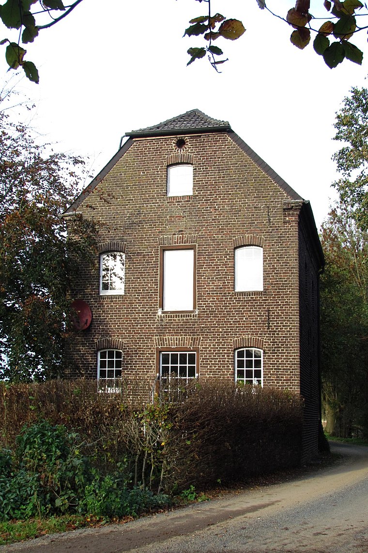
Photo: Wikimedia, CC BY-SA 3.0 de.
Honselaerer Mühle is a farm, which is situated 2½ km west of Singendonkshof.
Places in the Area
Nearby places include Kapellen and Sonsbeck.
Kapellen
Village

Photo: HenkvD, CC BY-SA 4.0.
Kapellen an der Fleuth is a village of about 2700 people in northwest Germany near the border of the Netherlands. Since 1969 the village has been a part of the city of Geldern.
Sonsbeck
Village

Photo: Semiliki, CC BY-SA 3.0.
Sonsbeck is a municipality in the district of Wesel, in North Rhine-Westphalia, Germany. It is situated approximately 20 km west of Wesel, and 25 km south-east of Cleves as well as 8 km from the historic city of Xanten. Sonsbeck is situated 4 km northeast of Singendonkshof.
Wetten
Village

Photo: Michielverbeek, CC BY-SA 3.0.
Wetten is a village, which is situated 4 km west of Singendonkshof.
Singendonkshof
- Type: Farm
- Category: agriculture
- Location: Kevelaer, Kleve, Düsseldorf, Lower Rhine, North Rhine-Westphalia, Germany, Central Europe, Europe
- View on OpenStreetMap
Latitude
51.57673° or 51° 34′ 36″ northLongitude
6.35207° or 6° 21′ 8″ eastOpen location code
9F38H9G2+MROpenStreetMap ID
way 135869667OpenStreetMap feature
landuse=farmyard
This page is based on OpenStreetMap, Wikidata, and Wikimedia Commons.
We’d love your help improving our open data sources. Thank you for contributing.
Satellite Map
Discover Singendonkshof from above in high-definition satellite imagery.
Places with the Same Name
Discover other places named “Singendonkshof”.
Notable Places Nearby
Highlights include Spielplatz Jupp-Sieben-Straße and Fw Kapellen.
Nearby Places
Explore places such as Singendonksche Windmühle and Lessumshof.
Lower Rhine: Must-Visit Destinations
Delve into Düsseldorf, Mönchengladbach, Krefeld, and Neuss.
Curious Farms to Discover
Uncover intriguing farms from every corner of the globe.
About Mapcarta. Data © OpenStreetMap contributors and available under the Open Database License". Text is available under the CC BY-SA 4.0 license, except for photos, directions, and the map. Photo: Wikimedia, CC0.