Pant y Sais National Nature Reserve
Pant y Sais National Nature Reserve is a nature reserve in Coedffranc, Neath Port Talbot, Wales. Pant y Sais National Nature Reserve is situated nearby to the village Jersey Marine, as well as near Llandarcy.| Tap on a place to explore it |
Places of Interest
Highlights include Crymlyn Bog and Briton Ferry railway station.
Crymlyn Bog
Nature reserve

Photo: Kevin Gilman, CC BY-SA 2.0.
Crymlyn Bog is a nature reserve and a designated Site of Special Scientific Interest of international significance, near Swansea, south Wales. It is the largest area of lowland fen in Wales and lies immediately to the eastern side of Kilvey Hill just north of the industrial area of Crymlyn Burrows.
Briton Ferry railway station
Railway station

Photo: John Lord, CC BY-SA 2.0.
Briton Ferry railway station is a minor station in the village of Briton Ferry, south Wales. It is 206 miles 40 chains from the zero point at London Paddington, measured via Stroud.

Places in the Area
Nearby places include Neath and Swansea.
Neath
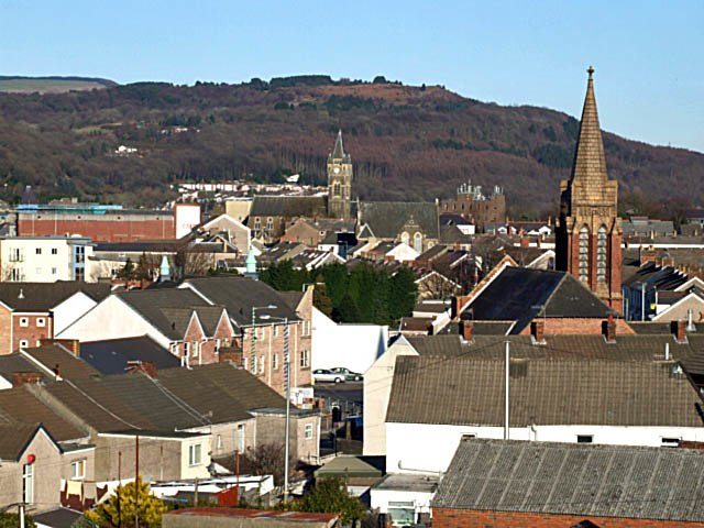
Photo: Robert Davies, CC BY-SA 2.0.
Neath is a town in Glamorgan in South Wales. Although it lacks any specific tourist attractions, its location near the stunning Swansea and Neath Valleys make it a convenient, if not overly inspiring, base for touring these places.
Swansea

Photo: Andrew Evans, CC BY 2.0.
Swansea is a city on the beautiful Gower Peninsula — the United Kingdom's first designated "Area of Outstanding Natural Beauty". It is home to about 247,000 people.
Port Talbot

Photo: Kevin Corcoran, CC BY-SA 2.0.
Port Talbot is an industrial town in South Wales. It is located in the county borough of Neath Port Talbot, part of the traditional county of Glamorgan and has a population of around 32,000.
Pant y Sais National Nature Reserve
- Type: Nature reserve
- Categories: wetland and recreation area
- Location: Coedffranc, Neath Port Talbot, Wales, United Kingdom, Britain and Ireland, Europe
- View on OpenStreetMap
Latitude
51.632° or 51° 37′ 55″ northLongitude
-3.8565° or 3° 51′ 23″ westOpen location code
9C3RJ4JV+RCOpenStreetMap ID
way 1359707854OpenStreetMap feature
leisure=nature_reserveOpenStreetMap feature
natural=wetland
This page is based on OpenStreetMap, Wikidata, and Wikimedia Commons.
We’d love your help improving our open data sources. Thank you for contributing.
Satellite Map
Discover Pant y Sais National Nature Reserve from above in high-definition satellite imagery.
In Other Languages
“Pant y Sais National Nature Reserve” goes by many names.
- Welsh: “Gwarchodfa Natur Genedlaethol Pant y Sais”
Localities in the Area
Explore places such as Jersey Marine and Llandarcy.
Notable Places Nearby
Highlights include Pant y Sais Stables and Crymlyn Primary School.
Wales: Must-Visit Destinations
Delve into Cardiff, Swansea, Newport, and Llanfairpwllgwyngyll.
Curious Nature Reserves to Discover
Uncover intriguing nature reserves from every corner of the globe.
About Mapcarta. Data © OpenStreetMap contributors and available under the Open Database License". Text is available under the CC BY-SA 4.0 license, except for photos, directions, and the map. Photo: fionamcallisterphotography, CC BY 2.0.