XYZ School
XYZ School is a school building in Nagar, Maharashtra. XYZ School is situated nearby to Ketkar Hospital, as well as near Kulkarni Hospital.| Tap on a place to explore it |
Places in the Area
Nearby places include Ahmednagar and Kedgaon.
Ahmednagar

Photo: Amey.n.prabhune, CC BY-SA 3.0.
Ahmednagar, officially Ahilyanagar, has more than 500 years history traced back to 1490, with find traces of Nizamshahi, Shah Jahan and Peshwas until the British took over Ahmednagar.
Kedgaon
Town
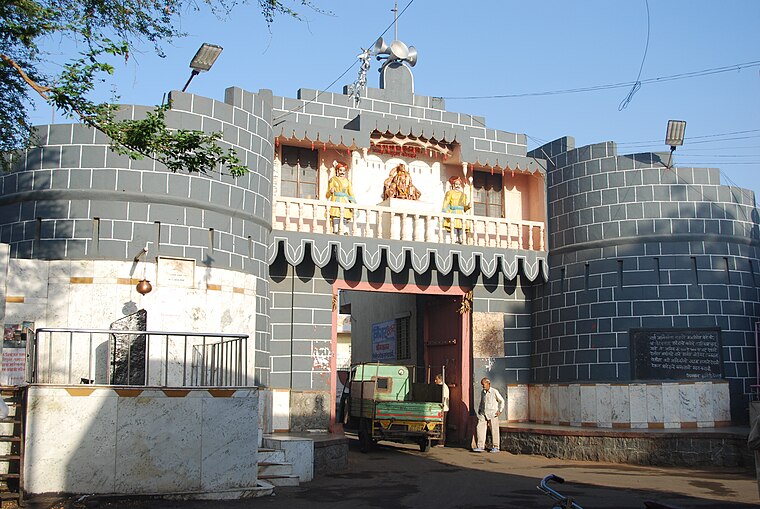 Kedgaon is part of Ahmednagar Municipal Corporation divided by the Nagar-Pune highway in Ahmednagar district in Maharashtra state of India. Its population is 75,000. Kedgaon is situated 8 km southwest of XYZ School.
XYZ School
- Type: School building
- Categories: building and education
- Location: Nagar, Ahmednagar, Maharashtra, Western India, India, South Asia, Asia
- View on OpenStreetMap
Latitude
19.12993° or 19° 7′ 48″ northLongitude
74.73628° or 74° 44′ 11″ eastOpen location code
7JFP4PHP+XGOpenStreetMap ID
way 1361201424OpenStreetMap feature
building=school
This page is based on OpenStreetMap, Wikidata, and Wikimedia Commons.
We’d love your help improving our open data sources. Thank you for contributing.
Satellite Map
Discover XYZ School from above in high-definition satellite imagery.
Notable Places Nearby
Highlights include Ketkar Hospital and Kulkarni Hospital.
Nearby Places
Explore places such as Tushar Nursing Home, Thane and Kulkarni ENT and Maternity Hospital.
Maharashtra: Must-Visit Destinations
Delve into Mumbai, Pune, Nagpur, and Nashik.
Curious Schools to Discover
Uncover intriguing schools from every corner of the globe.
About Mapcarta. Data © OpenStreetMap contributors and available under the Open Database License". Text is available under the CC BY-SA 4.0 license, except for photos, directions, and the map. Photo: Mangeshjadhav, CC BY-SA 3.0.