Woodside
Woodside is a farm in Wendron, Cornwall, England. Woodside is situated nearby to Boskenwyn Community Primary School, as well as near the motorhome stopover Boskenwyn Manor Farm.| Tap on a place to explore it |
Places of Interest Nearby
Highlights include Flambards Theme Park and Poldark Mine.
Flambards Theme Park
Theme park

Photo: Lewis Clarke, CC BY-SA 2.0.
Flambards Theme Park was an amusement park on the southern outskirts of the town of Helston in Cornwall, England, United Kingdom. It was founded in 1976 as the Cornwall Aero Park by Douglas Kingsford Hale MBE. Flambards Theme Park is situated 2 miles southwest of Woodside.
Poldark Mine
Museum
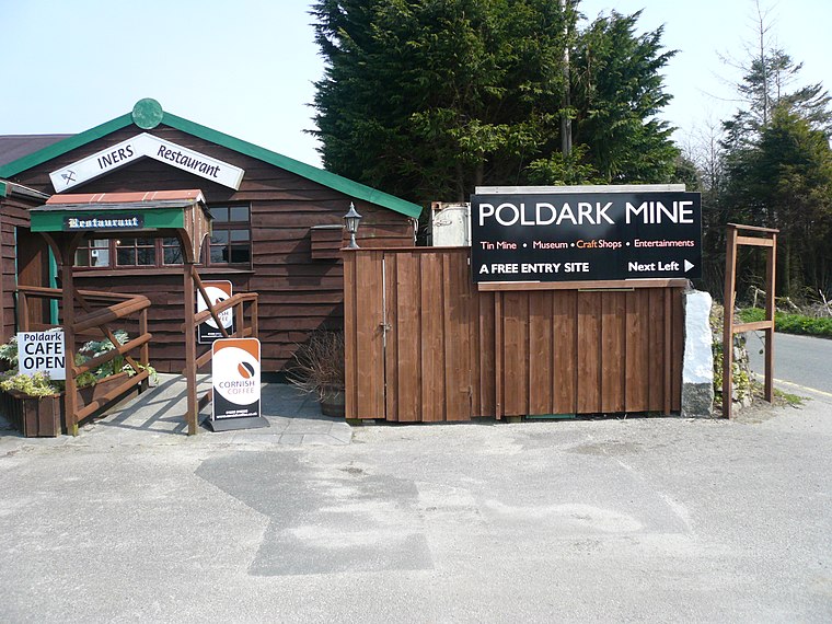
Photo: Wikimedia, CC BY-SA 3.0.
Poldark Mine is a tourist attraction near the town of Helston in Cornwall, England, UK. It lies within the Wendron Mining District of the Cornwall and West Devon Mining Landscape World Heritage Site. Poldark Mine is situated 2 miles north of Woodside.
Helston Library
Library

Photo: Libraries Taskforce, CC BY 2.0.
Helston Library is situated 2 miles west of Woodside.
Places in the Area
Nearby places include Trewennack and Trevenen.
Trewennack
Hamlet

Photo: Jonathan Billinger, CC BY-SA 2.0.
Trewennack is a village northeast of Helston in Cornwall, England, United Kingdom. It is on the A394 main road. The name of the village comes from the Cornish language words tre, meaning 'farm' or 'settlement', and Gwedhenek, a personal name.
Trevenen
Hamlet
Trevenen is a hamlet on the A394 main road from Helston to Mabe in west Cornwall, England, United Kingdom. It is south of Wendron.
Mellangoose
Hamlet

Photo: Jonathan Billinger, CC BY-SA 2.0.
Mellangoose is a hamlet in the parish of Mawgan-in-Meneage, Cornwall, England. A site in Mellangoose is described as a Plen-an-gwary where the famous Cornish wrestler Captain Thomas Gundry regularly fought.
Woodside
- Type: Farm
- Category: agriculture
- Location: Wendron, Cornwall, West Country, England, United Kingdom, Britain and Ireland, Europe
- View on OpenStreetMap
Latitude
50.11057° or 50° 6′ 38″ northLongitude
-5.23023° or 5° 13′ 49″ westOpen location code
9C2P4Q69+6WOpenStreetMap ID
way 136360172OpenStreetMap feature
landuse=farmyard
This page is based on OpenStreetMap, Wikidata, and Wikimedia Commons.
We’d love your help improving our open data sources. Thank you for contributing.
Satellite Map
Discover Woodside from above in high-definition satellite imagery.
Places with the Same Name
Discover other places named “Woodside”.
Notable Places Nearby
Highlights include Boskenwyn Community Primary School and Boskenwyn Manor Farm.
Nearby Places
Explore places such as Grambla and Barton Farm.
Cornwall: Must-Visit Destinations
Delve into Truro, Penzance, Falmouth, and Land’s End.
Curious Farms to Discover
Uncover intriguing farms from every corner of the globe.
About Mapcarta. Data © OpenStreetMap contributors and available under the Open Database License". Text is available under the CC BY-SA 4.0 license, except for photos, directions, and the map. Photo: ramsd, CC BY 2.0.