Spielplatz am Pfarrhaus
Spielplatz am Pfarrhaus is a playground in Grafschaft, Bad Neuenahr-Ahrweiler, Rhineland-Palatinate. Spielplatz am Pfarrhaus is situated nearby to the church St. Dionysius, as well as near the town hall Gemeindeverwaltung Gemeinde Grafschaft.| Tap on a place to explore it |
Places of Interest Nearby
Highlights include St. Joseph (Beller) and Fritzdorfer Windmühle.
St. Joseph (Beller)
Church

Photo: GFreihalter, CC BY-SA 3.0.
St. Joseph (Beller) is a church, which is situated 670 metres northeast of Spielplatz am Pfarrhaus.
Fritzdorfer Windmühle

Photo: Springfield911, CC BY-SA 3.0.
Fritzdorfer Windmühle is situated 1½ km north of Spielplatz am Pfarrhaus.
Weißer Turm
Museum

Photo: Wikimedia, CC BY-SA 3.0.
Weißer Turm is a museum, which is situated 3½ km south of Spielplatz am Pfarrhaus.
Places in the Area
Nearby places include Bölingen and Karweiler.


Spielplatz am Pfarrhaus
- Type: Playground
- Category: recreation area
- Location: Grafschaft, Bad Neuenahr-Ahrweiler, Eifel, Rhineland-Palatinate, Germany, Central Europe, Europe
- View on OpenStreetMap
Latitude
50.57239° or 50° 34′ 21″ northLongitude
7.09749° or 7° 5′ 51″ eastOpen location code
9F29H3CW+XXOpenStreetMap ID
way 1365985888OpenStreetMap feature
leisure=playground
This page is based on OpenStreetMap, Wikidata, and Wikimedia Commons.
We’d love your help improving our open data sources. Thank you for contributing.
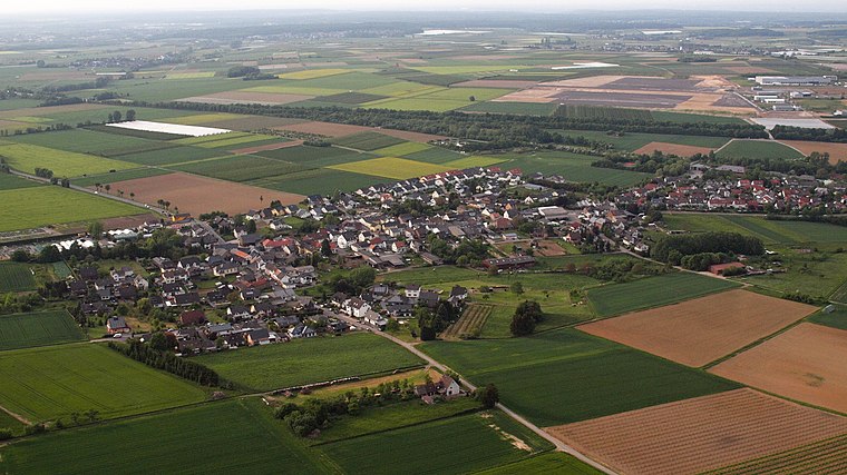
Satellite Map
Discover Spielplatz am Pfarrhaus from above in high-definition satellite imagery.
Notable Places Nearby
Highlights include St. Dionysius and Gemeindeverwaltung Gemeinde Grafschaft.
Nearby Places
Explore places such as Ringen Kirche and Ringen Kirche.
Eifel: Must-Visit Destinations
Delve into Bitburg, Mayen, Nürburg, and Dernau.
Curious Playgrounds to Discover
Uncover intriguing playgrounds from every corner of the globe.
About Mapcarta. Data © OpenStreetMap contributors and available under the Open Database License". Text is available under the CC BY-SA 4.0 license, except for photos, directions, and the map. Photo: Thilver, CC BY-SA 4.0.