CMS
CMS is an industrial building in Wanlip, Charnwood District, England which is located on Meer End. CMS is situated nearby to the health club Bridge4Studio, as well as near the community center Hallam Fields Hall.| Tap on a place to explore it |
Places of Interest Nearby
Highlights include The Cedars Academy and Watermead Country Park.
The Cedars Academy
School

Photo: Kate Jewell, CC BY-SA 2.0.
The Cedars Academy is a co-educational secondary school and sixth form located in Birstall in the English county of Leicestershire. The Cedars Academy is situated 3,100 feet east of CMS.
Watermead Country Park
Park
The Watermead Country Park is a network of artificial lakes in the valley of the River Soar and the old Grand Union Canal, in and to the north of Leicester and in and to the south of the Borough of Charnwood in Leicestershire. Watermead Country Park is situated 1¼ miles southeast of CMS.
Church of St Nicholas
Church

Photo: Wikimedia, CC BY-SA 2.5.
Church of St Nicholas is situated 1 mile east of CMS.
Places in the Area
Nearby places include Birstall and Cropston.
Birstall
Village

Photo: Wesley Trevor Johnston, CC BY-SA 2.0.
Birstall is a large village and civil parish within the Charnwood borough of Leicestershire, England. It is three miles north of Leicester city centre and is part of the wider Leicester Urban Area.
Cropston
Village
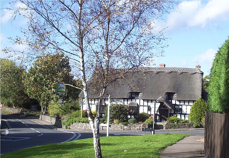
Photo: Kev747, Public domain.
Cropston is a village and former civil parish, now in the parish of Thurcaston and Cropston, part of the Borough of Charnwood in Leicestershire, England. Cropston is situated 2 miles west of CMS.
Cossington
Village

Photo: Kev747, Public domain.
Cossington is a village within the Soar Valley in Leicestershire, England. It is between Sileby, Rothley, Ratcliffe-on-the-Wreake and Syston. The population of the civil parish at the 2011 census was 598. Cossington is situated 2 miles northeast of CMS.
CMS
- Type: Industrial building
- Address: Meer End, Birstall, Leicester, LE4 3EH
- Categories: building and industry
- Location: Wanlip, Charnwood District, Leicestershire, East Midlands, England, United Kingdom, Britain and Ireland, Europe
- View on OpenStreetMap
Latitude
52.68993° or 52° 41′ 24″ northLongitude
-1.13439° or 1° 8′ 4″ westOpen location code
9C4WMVQ8+X6OpenStreetMap ID
way 1367504247OpenStreetMap feature
building=industrial
This page is based on OpenStreetMap, Wikidata, and Wikimedia Commons.
We’d love your help improving our open data sources. Thank you for contributing.
Satellite Map
Discover CMS from above in high-definition satellite imagery.
Places with the Same Name
Discover other places named “CMS”.
Notable Places Nearby
Highlights include Bridge4Studio and Hallam Fields Hall.
Nearby Places
Explore places such as ChipsAway and RW Refrigeration Wholesale Ltd.
Leicestershire: Must-Visit Destinations
Delve into Leicester, Loughborough, Hinckley, and Melton Mowbray.
Curious Industrial Buildings to Discover
Uncover intriguing industrial buildings from every corner of the globe.
About Mapcarta. Data © OpenStreetMap contributors and available under the Open Database License". Text is available under the CC BY-SA 4.0 license, except for photos, directions, and the map. Photo: Wikimedia, CC0.