华南师范大学附属平湖学校
华南师范大学附属平湖学校 is a school in Guangdong, South China. 华南师范大学附属平湖学校 is situated nearby to the bridge 水贝桥, as well as near the suburb Henggang Sub-District.| Tap on a place to explore it |
Places of Interest Nearby
Highlights include Liuyue North Station.
Liuyue North Station
Station
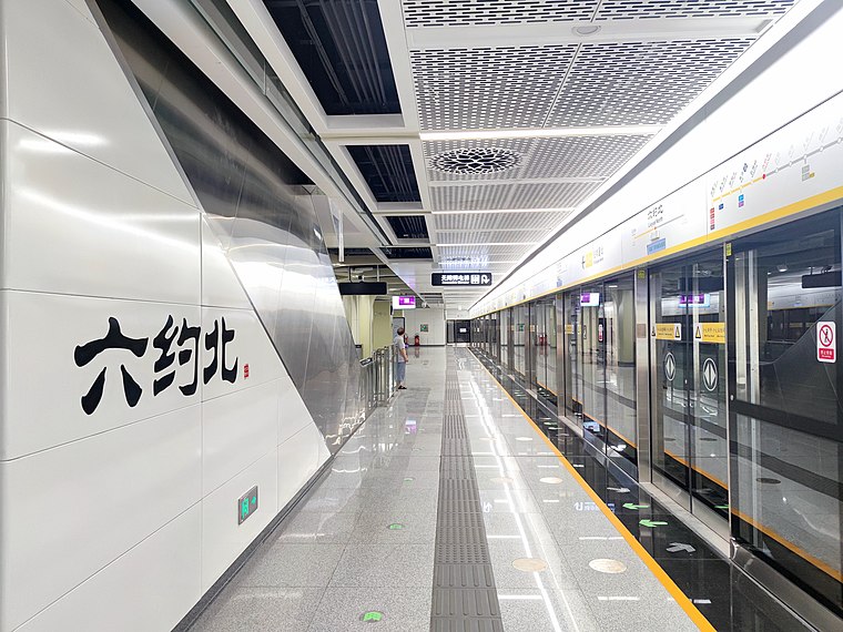
Photo: Min Zi LRC, CC BY-SA 4.0.
Liuyue North station is a station on Line 14 of Shenzhen Metro in Shenzhen, Guangdong, China, which opened on 28 October 2022. It is located in Longgang District. Liuyue North Station is situated 3½ km southeast of 华南师范大学附属平湖学校.
Places in the Area
Nearby places include Henggang Sub-District and Dafen Village.
Henggang Sub-District
Suburb
 Henggang Sub-District is a suburb, which is situated 5 km southeast of 华南师范大学附属平湖学校.
Dafen Village
Quarter
 Dafen is a suburb of Buji, Longgang, Shenzhen, in the province of Guangdong, China. Since 1989, the area has been an artists' village for the production of replicas of masterworks and outsourcing of original art creation as a specialised urban cottage industry. Dafen Village is situated 7 km south of 华南师范大学附属平湖学校.
Buji Subdistrict
Suburb

Photo: 寿司猫, CC BY-SA 3.0.
Buji Subdistrict is a subdistrict of Longgang District, Shenzhen, Guangdong, China. Located in the northeast part of Shenzhen, it is served by four metro stations and is home to the city's eastern train station, Shenzhen East railway station. Buji Subdistrict is situated 8 km southwest of 华南师范大学附属平湖学校.
华南师范大学附属平湖学校
- Type: School
- Category: education
- Location: Guangdong, South China, China, East Asia, Asia
- View on OpenStreetMap
Latitude
22.67557° or 22° 40′ 32″ northLongitude
114.15697° or 114° 9′ 25″ eastOpen location code
7PJPM5G4+6QOpenStreetMap ID
way 1371739303OpenStreetMap feature
amenity=school
This page is based on OpenStreetMap, Wikidata, and Wikimedia Commons.
We’d love your help improving our open data sources. Thank you for contributing.
Satellite Map
Discover 华南师范大学附属平湖学校 from above in high-definition satellite imagery.
Notable Places Nearby
Highlights include 水贝桥 and 鹅公岭农贸市场.
Nearby Places
Explore places such as 特发天鹅湖畔花园 and Tefa Swan Lake Bus Terminal (Start).
Guangdong: Must-Visit Destinations
Delve into Guangzhou, Shenzhen, Zhuhai, and Dongguan.
Curious Places to Discover
Uncover intriguing places from every corner of the globe.
About Mapcarta. Data © OpenStreetMap contributors and available under the Open Database License". Text is available under the CC BY-SA 4.0 license, except for photos, directions, and the map. Photo: sullivanng, CC BY-SA 2.0.