Park Regency
Park Regency is a residential area in Alameda, California. Park Regency is situated nearby to Our Lady of Guadalupe Church, as well as near Rosewood Community Park.| Tap on a place to explore it |
Places of Interest Nearby
Highlights include Aqua Adventure and Fremont Central Park.
Aqua Adventure
Water park
Aqua Adventure is a water park located in Central Park in Fremont, California. Aqua Adventure is situated 4,100 feet east of Park Regency.
Fremont Central Park
Park
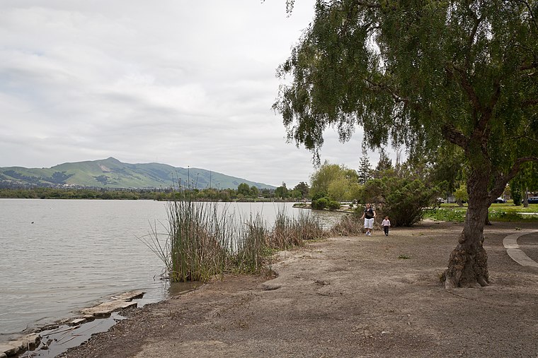
Photo: King of Hearts, CC BY-SA 3.0.
Fremont Central Park is a 450-acre manmade park in the central area of Fremont, California on Paseo Padre Parkway at Stevenson Boulevard. It is accessible from I-880 and I-680.

Places in the Area
Nearby places include Fremont and Shinn.
Fremont

Photo: Mactographer, CC BY 2.5.
Fremont is a suburban city in the southern part of the East Bay of the San Francisco Bay Area; it is the 4th largest city in the Bay Area by population.
Shinn
Hamlet
Shinn was a former unincorporated community around the Western Pacific Railroad station, constructed 1909 on the south bank of Alameda Creek at the end of Shinn Street. Shinn is situated 2 miles north of Park Regency.
Mowry Landing
Hamlet
Mowry Landing is a former settlement in Alameda County, California. It is located 2 miles southeast of central Newark on the San Francisco Bay. It lies at an elevation of 10 feet. Mowry Landing is situated 2½ miles southwest of Park Regency.
Park Regency
- Type: Residential area
- Location: Alameda, California, United States, North America
- View on OpenStreetMap
Latitude
37.54082° or 37° 32′ 27″ northLongitude
-121.97448° or 121° 58′ 28″ westOpen location code
849WG2RG+86OpenStreetMap ID
way 1377875067OpenStreetMap feature
landuse=residential
This page is based on OpenStreetMap, Wikidata, and Wikimedia Commons.
We’d love your help improving our open data sources. Thank you for contributing.
Satellite Map
Discover Park Regency from above in high-definition satellite imagery.
Places with the Same Name
Discover other places named “Park Regency”.
Notable Places Nearby
Highlights include Rosewood Community Park and Our Lady of Guadalupe Church.
Nearby Places
Explore places such as Fremont Boulevard & Stevenson Boulevard and Stevenson Place.
California: Must-Visit Destinations
Delve into San Francisco, Los Angeles, San Diego, and Sacramento.
Curious Residential Areas to Discover
Uncover intriguing residential areas from every corner of the globe.
About Mapcarta. Data © OpenStreetMap contributors and available under the Open Database License". Text is available under the CC BY-SA 4.0 license, except for photos, directions, and the map. Photo: Miskatonic, CC BY 2.5.