坦洲镇安阜小学
坦洲镇安阜小学 is a school in Guangdong, South China. 坦洲镇安阜小学 is situated nearby to the park 金斗湾水乡度假怡乐园, as well as near the peak 鹅槽山.| Tap on a place to explore it |
Places in the Area
Nearby places include Tanzhou Town and Qianshan Subdistrict.
Tanzhou Town
Town

Photo: 静宣, CC BY-SA 3.0.
Tanzhou is a town situated at the southern extremity of the prefecture-level city of Zhongshan, Guangdong province. At the 2020 census, the population of Tanzhou was 382,445. Tanzhou Town is situated 2½ km north of 坦洲镇安阜小学.
Qianshan Subdistrict
Suburb

Photo: 9old9, CC BY-SA 3.0.
Qianshan is a subdistrict of Xiangzhou District, Zhuhai, in Guangdong Province in the People's Republic of China. Formerly an important military base overseeing the Portuguese-administered enclave of Macao, it is now a Chinese manufacturing center, with particular emphasis on household appliances, airconditioners, and printing supplies. Qianshan Subdistrict is situated 5 km east of 坦洲镇安阜小学.
Gongbei Subdistrict
Suburb
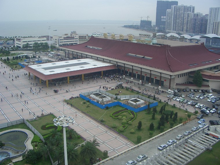
Photo: 9old9, CC BY-SA 3.0.
Gongbei Subdistrict is a township-level division situated in Xiangzhou District, Zhuhai, Guangdong, China. Gongbei Subdistrict is situated 8 km southeast of 坦洲镇安阜小学.
坦洲镇安阜小学
- Type: School
- Category: education
- Location: Guangdong, South China, China, East Asia, Asia
- View on OpenStreetMap
Latitude
22.24744° or 22° 14′ 51″ northLongitude
113.46649° or 113° 27′ 59″ eastOpen location code
7PJM6FW8+XHOpenStreetMap ID
way 1383208395OpenStreetMap feature
amenity=school
This page is based on OpenStreetMap, Wikidata, and Wikimedia Commons.
We’d love your help improving our open data sources. Thank you for contributing.
Satellite Map
Discover 坦洲镇安阜小学 from above in high-definition satellite imagery.
Notable Places Nearby
Highlights include 金斗湾水乡度假怡乐园 and 坦洲镇人民政府.
Nearby Places
Explore places such as 安阜幼儿园 and 安阜.
Guangdong: Must-Visit Destinations
Delve into Guangzhou, Shenzhen, Zhuhai, and Dongguan.
Curious Schools to Discover
Uncover intriguing schools from every corner of the globe.
About Mapcarta. Data © OpenStreetMap contributors and available under the Open Database License". Text is available under the CC BY-SA 4.0 license, except for photos, directions, and the map. Photo: sullivanng, CC BY-SA 2.0.