Carrolls Elementary School
Carrolls Elementary School is a school in Cowlitz, Washington. Carrolls Elementary School is situated nearby to the cliff Carrolls Bluff, as well as near Cottonwood Island.| Tap on a place to explore it |
Places of Interest Nearby
Highlights include Trojan Nuclear Power Plant.
Trojan Nuclear Power Plant

Photo: ENERGY.GOV, Public domain.
Trojan Nuclear Power Plant was a pressurized water reactor nuclear power plant in the northwest United States, located 30 miles north of Portland, Oregon and southeast of Rainier, Oregon. Trojan Nuclear Power Plant is situated 2½ miles southwest of Carrolls Elementary School.
Places in the Area
Nearby places include Lindbergh and Rainier.
Lindbergh
Hamlet
Lindbergh is an unincorporated community in Columbia County, Oregon, United States. Lindbergh is situated 2 miles west of Carrolls Elementary School.
Rainier

Photo: Akampfer, CC BY-SA 3.0.
Rainier is a city in Columbia County, Oregon, United States. The city's population was 1,895 at the 2010 census. Rainier is on the south bank of the Columbia River across from Kelso and Longview, Washington.
Goble
Hamlet
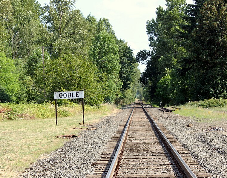 Goble is an unincorporated community in Columbia County, Oregon, United States. It is located on U.S. Route 30 and the Columbia River. Goble is situated 4 miles south of Carrolls Elementary School.
Carrolls Elementary School
- Type: School
- Categories: building and education
- Location: Cowlitz, Washington, Pacific Northwest, United States, North America
- View on OpenStreetMap
Latitude
46.0702° or 46° 4′ 13″ northLongitude
-122.86621° or 122° 51′ 58″ westOpen location code
84RV34CM+3GOpenStreetMap ID
way 1384451273OpenStreetMap feature
amenity=schoolOpenStreetMap feature
building=yes
This page is based on OpenStreetMap, Wikidata, and Wikimedia Commons.
We’d love your help improving our open data sources. Thank you for contributing.
Satellite Map
Discover Carrolls Elementary School from above in high-definition satellite imagery.
Notable Places Nearby
Highlights include Carrolls Bluff and Cottonwood Island.
Nearby Places
Explore places such as Carrolls Country Store and Dredge spoils.
Washington: Must-Visit Destinations
Delve into Seattle, Olympia, Tacoma, and Spokane.
Curious Schools to Discover
Uncover intriguing schools from every corner of the globe.
About Mapcarta. Data © OpenStreetMap contributors and available under the Open Database License". Text is available under the CC BY-SA 4.0 license, except for photos, directions, and the map. Photo: Lumpytrout, CC BY-SA 3.0.