Kamelanlage
Kamelanlage is a grassland in Grömitz, Ostholstein, Schleswig-Holstein. Kamelanlage is situated nearby to the grassland Trampeltier, as well as near Löwen.| Tap on a place to explore it |
Places of Interest Nearby
Highlights include Zoo Arche Noah and St. Nicolai.
Zoo Arche Noah
Zoo

Photo: Veliensis, CC BY-SA 4.0.
Zoo Arche Noah is situated 130 metres northwest of Kamelanlage.
St. Nicolai
Church

Photo: Agnete, CC BY-SA 3.0.
St. Nicolai is a church, which is situated 590 metres southwest of Kamelanlage.
Sankt Bonifatius
Church

Photo: Wikimedia, CC BY-SA 3.0 de.
Sankt Bonifatius is a church, which is situated 1 km southwest of Kamelanlage.
Places in the Area
Nearby places include Cismar and Schashagen.
Cismar
Village

Photo: Gurkentee, CC BY-SA 2.0 de.
Cismar is a village, which is situated 4½ km north of Kamelanlage.
Schashagen
Village
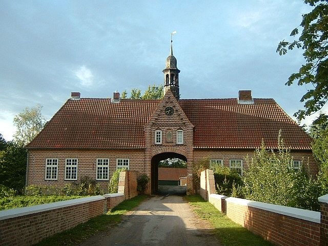
Photo: Peng, CC BY-SA 3.0.
Schashagen is a municipality in the district of Ostholstein, in Schleswig-Holstein, Germany. Schashagen is situated 6 km southwest of Kamelanlage.
Manhagen
Village
Manhagen is a municipality in the district of Ostholstein, in Schleswig-Holstein, Germany. Manhagen is situated 6 km northwest of Kamelanlage.
Kamelanlage
- Type: Grassland
- Category: tourist attraction
- Location: Grömitz, Ostholstein, East Holstein, Schleswig-Holstein, Germany, Central Europe, Europe
- View on OpenStreetMap
Latitude
54.15331° or 54° 9′ 12″ northLongitude
10.96438° or 10° 57′ 52″ eastOpen location code
9F6G5X37+8QOpenStreetMap ID
way 1388030903OpenStreetMap feature
attraction=animalOpenStreetMap feature
natural=grassland
This page is based on OpenStreetMap, Wikidata, and Wikimedia Commons.
We’d love your help improving our open data sources. Thank you for contributing.
Satellite Map
Discover Kamelanlage from above in high-definition satellite imagery.
Notable Places Nearby
Highlights include Trampeltier and Löwen.
Nearby Places
Explore places such as Seehunde and Haus Irene.
East Holstein: Must-Visit Destinations
Delve into Lübeck, Fehmarn, Ratzeburg, and Timmendorfer Strand.
Curious Grasslands to Discover
Uncover intriguing grasslands from every corner of the globe.
About Mapcarta. Data © OpenStreetMap contributors and available under the Open Database License". Text is available under the CC BY-SA 4.0 license, except for photos, directions, and the map. Photo: Andreas Geick, CC BY-SA 3.0.