Mitchell Community Church
Mitchell Community Church is a church in Stanislaus County, San Joaquin Valley, California which is located on South Mitchell Road.| Tap on a place to explore it |
Places in the Area
Nearby places include Turlock and Keyes.
Turlock
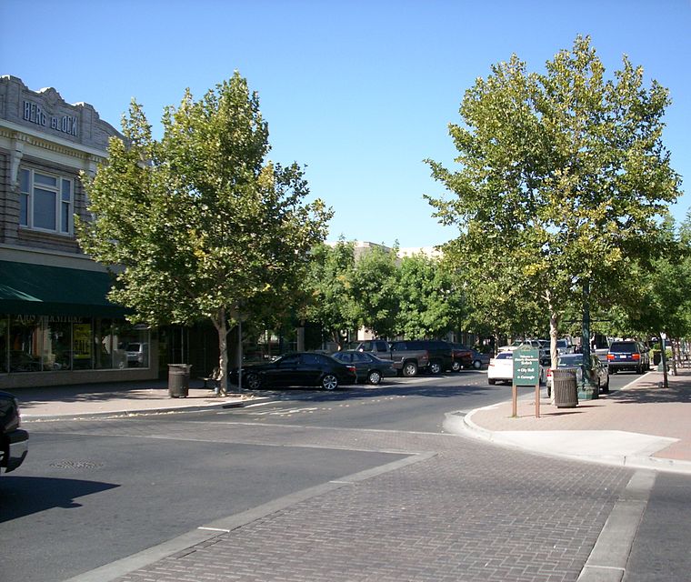
Photo: Intothewoods29, Public domain.
Turlock is in California's San Joaquin Valley. It is the home of California State University Stanislaus.
Keyes
Locality
Keyes is a census-designated place in Stanislaus County, California, United States. The population was 5,672 at the 2020 census, up from 5,601 at the 2010 census. It is part of the Modesto Metropolitan Statistical Area. Keyes is situated 6 miles north of Mitchell Community Church.
Mitchell Community Church
- Type: Church
- Address: 1507 South Mitchell Road, Turlock, CA 95380
- Categories: building, place of worship, and religion
- Location: Stanislaus County, San Joaquin Valley, California, United States, North America
- View on OpenStreetMap
Latitude
37.47874° or 37° 28′ 43″ northLongitude
-120.94054° or 120° 56′ 26″ westOpen location code
849XF3H5+FQOpenStreetMap ID
way 1388903875OpenStreetMap feature
amenity=place_of_worshipOpenStreetMap feature
building=yes
This page is based on OpenStreetMap, Wikidata, and Wikimedia Commons.
We’d love your help improving our open data sources. Thank you for contributing.
Satellite Map
Discover Mitchell Community Church from above in high-definition satellite imagery.
Notable Places Nearby
Highlights include Walnut Power Plant and Walnut Energy Center.
Nearby Places
Explore places such as Chatom Elementary School and Log Cabin.
Stanislaus County: Must-Visit Destinations
Delve into Modesto, Turlock, Oakdale, and Patterson.
Curious Churches to Discover
Uncover intriguing churches from every corner of the globe.
About Mapcarta. Data © OpenStreetMap contributors and available under the Open Database License". Text is available under the CC BY-SA 4.0 license, except for photos, directions, and the map. Photo: Wikimedia, CC0.