Wasserhäuschchen (außer Betrieb)
Wasserhäuschchen (außer Betrieb) is a waterworks in Kell am See, Trier-Saarburg, Rhineland-Palatinate. Wasserhäuschchen (außer Betrieb) is situated nearby to the peak Springkopf, as well as near Fallenseifenberg.| Tap on a place to explore it |
Places of Interest Nearby
Highlights include Burg Grimburg and Teufelskopf.
Burg Grimburg

Photo: Ssch, CC BY-SA 3.0.
Burg Grimburg is situated 2 km northeast of Wasserhäuschchen (außer Betrieb).
St. Martin
Church
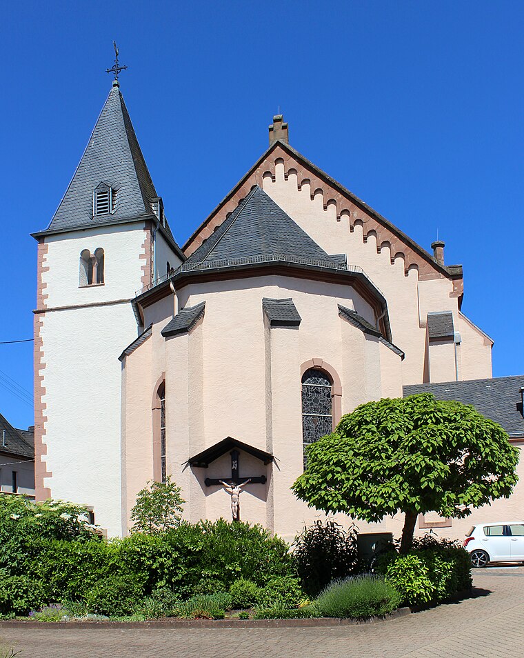
Photo: Mstp77, CC BY-SA 4.0.
St. Martin is a church, which is situated 3 km east of Wasserhäuschchen (außer Betrieb).
Places in the Area
Nearby places include Grimburg and Weiskirchen.
Grimburg
Village
Photo: Ssch, CC BY-SA 3.0.
Grimburg is a municipality in the Trier-Saarburg district, in Rhineland-Palatinate, Germany. Grimburg is situated 3½ km northeast of Wasserhäuschchen (außer Betrieb).
Weiskirchen
Village

Photo: Barthwo, CC BY-SA 3.0.
Weiskirchen is a municipality in the district Merzig-Wadern, in Saarland, Germany. It is situated in the Hunsrück, approx. 20 km northeast of Merzig, and 25 km southeast of Trier. Weiskirchen is situated 5 km southwest of Wasserhäuschchen (außer Betrieb).
Waldweiler
Village

Photo: Meulenwald, CC BY-SA 3.0.
Waldweiler is a municipality in the Trier-Saarburg district, in Rhineland-Palatinate, Germany. Waldweiler is situated 5 km northwest of Wasserhäuschchen (außer Betrieb).
Wasserhäuschchen (außer Betrieb)
- Type: Waterworks
- Category: industry
- Location: Kell am See, Trier-Saarburg, Rhineland-Palatinate, Germany, Central Europe, Europe
- View on OpenStreetMap
Latitude
49.59221° or 49° 35′ 32″ northLongitude
6.85687° or 6° 51′ 25″ eastOpen location code
8FX8HVR4+VPOpenStreetMap ID
way 1390920780OpenStreetMap feature
man_made=water_works
This page is based on OpenStreetMap, Wikidata, and Wikimedia Commons.
We’d love your help improving our open data sources. Thank you for contributing.
Satellite Map
Discover Wasserhäuschchen (außer Betrieb) from above in high-definition satellite imagery.
Notable Places Nearby
Highlights include Springkopf and Fallenseifenberg.
Nearby Places
Explore places such as Hochwaldalm Wadrill and Harteichhütte.
Rhineland-Palatinate: Must-Visit Destinations
Delve into Mainz, Trier, Koblenz, and Worms.
Curious Waterworks to Discover
Uncover intriguing waterworks from every corner of the globe.
About Mapcarta. Data © OpenStreetMap contributors and available under the Open Database License". Text is available under the CC BY-SA 4.0 license, except for photos, directions, and the map. Photo: Traveler100, CC BY-SA 3.0.