Clonturk Community College
Clonturk Community College is a school in Dublin, Leinster which is located on Swords Road. Clonturk Community College is situated nearby to Plunket College of Further Education, as well as near the hospital Highfield Healthcare.| Tap on a place to explore it |
Places of Interest Nearby
Highlights include Whitehall Stadium and Tolka Park.
Whitehall Stadium
Sports venue
 Whitehall Stadium is an Irish football ground located in the north Dublin suburb of Whitehall, bordering Drumcondra. It is the home ground of association football club Home Farm. Whitehall Stadium is situated 300 metres southwest of Clonturk Community College.
Tolka Park
Stadium

Photo: Wikimedia, Public domain.
Tolka Park is an Irish association football ground located in the north Dublin suburb of Drumcondra, on the northern banks of the River Tolka. It is currently the home ground of League of Ireland club Shelbourne men's and women's senior sides. Tolka Park is situated 1¼ km south of Clonturk Community College.
Albert College Park
Park

Photo: Smirkybec, CC BY-SA 4.0.
Albert College Park, also known as Hampstead Park, is a public park owned by Dublin City Council and managed by the council's Parks and Landscape Services division. It is located in northern Glasnevin, in the mid-northern suburbs of Dublin. Albert College Park is situated 1 km northwest of Clonturk Community College.
Places in the Area
Nearby places include Whitehall and Glasnevin.
Whitehall
Suburb

Photo: Peter Gerken, CC BY-SA 2.0.
Whitehall is a Northside suburb of Dublin City, Ireland. Whitehall is a residential area on the northern outskirts of Dublin's inner city, located near the M1 motorway leading to Dublin Airport, Swords and Belfast.
Glasnevin
Suburb

Photo: C O’Flanagan, CC BY-SA 2.0.
Glasnevin is a neighbourhood of Dublin, Ireland, situated on the River Tolka. While primarily residential, Glasnevin is also home to the National Botanic Gardens, Glasnevin Cemetery, the National Meteorological Office, and a range of other state bodies, and Dublin City University has its main campus and other facilities in and near the area.
Beaumont
Suburb
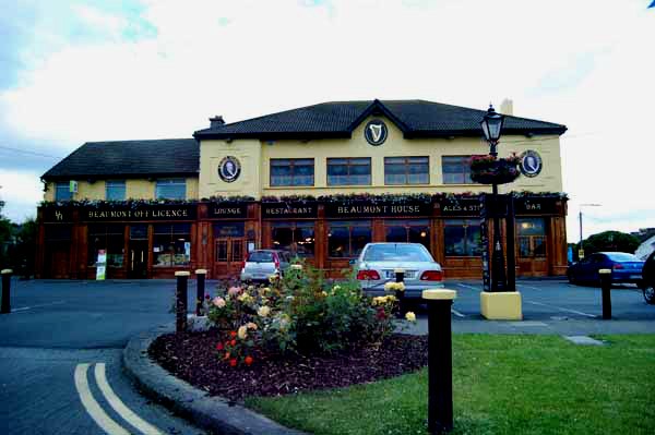
Photo: sarah gallagher, CC BY-SA 2.0.
Beaumont is a suburb of Dublin, Ireland, bordered by Donnycarney, Santry and Artane. It lies within the postal districts of Dublin 5 and Dublin 9.
Clonturk Community College
- Type: School
- Address: Swords Road, Dublin, D09W5K6
- Category: education
- Location: Dublin, Leinster, Ireland, Britain and Ireland, Europe
- View on OpenStreetMap
Latitude
53.37944° or 53° 22′ 46″ northLongitude
-6.24845° or 6° 14′ 54″ westOperator
Educate Together;City of Dublin Education and Training BoardOpen location code
9C5M9QH2+QJOpenStreetMap ID
way 1393981226OpenStreetMap feature
amenity=school
This page is based on OpenStreetMap, Wikidata, and Wikimedia Commons.
We’d love your help improving our open data sources. Thank you for contributing.
Satellite Map
Discover Clonturk Community College from above in high-definition satellite imagery.
Notable Places Nearby
Highlights include Plunket College of Further Education and Clonturk Community College.
Nearby Places
Explore places such as Block D and Block C.
Ireland: Must-Visit Destinations
Delve into Cork, Limerick, Galway, and Waterford.
Curious Schools to Discover
Uncover intriguing schools from every corner of the globe.
About Mapcarta. Data © OpenStreetMap contributors and available under the Open Database License". Text is available under the CC BY-SA 4.0 license, except for photos, directions, and the map. Photo: Wikimedia, CC0.