Edificio Lazarillo de Tormes
Edificio Lazarillo de Tormes is a building in Burgos, Castile and León. Edificio Lazarillo de Tormes is situated nearby to the church Iglesia de San Juan Pablo II, as well as near the park Parque Juan Pablo II.| Tap on a place to explore it |
Places of Interest Nearby
Highlights include Burgos-Rosa Manzano railway station and Church Inmaculada Concepción.
Burgos-Rosa Manzano railway station
Railway station

Photo: Jardoz, CC BY-SA 3.0.
Burgos-Rosa Manzano railway station, previously known as Burgos Rosa de Lima railway station, serves the Spanish city of Burgos, Castile and León. The station opened in 2008, named after the politician Rosa de Lima Manzano Gete responsible for the Directorate-General for Traffic and killed in service in 1988 in a helicopter accident. Burgos-Rosa Manzano railway station is situated 750 metres north of Edificio Lazarillo de Tormes.
Church Inmaculada Concepción
Church

Photo: Tomukas, CC BY-SA 4.0.
Church Inmaculada Concepción is situated 690 metres south of Edificio Lazarillo de Tormes.
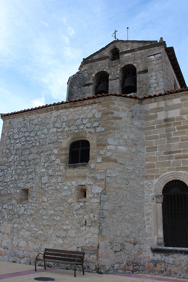
Church San Juan de Ortega
Church

Photo: Tomukas, CC BY-SA 4.0.
Church San Juan de Ortega is situated 1 km east of Edificio Lazarillo de Tormes.
Places in the Area
Nearby places include Gamonal and Villímar.


Edificio Lazarillo de Tormes
- Type: Building
- Location: Burgos, Burgos, Castile and León, Central Spain, Spain, Iberia, Europe
- View on OpenStreetMap
Latitude
42.36442° or 42° 21′ 52″ northLongitude
-3.66654° or 3° 39′ 60″ westOperator
Serrano PromocionesOpen location code
8CJR987M+Q9OpenStreetMap ID
way 1395523036OpenStreetMap feature
building=construction
This page is based on OpenStreetMap, Wikidata, and Wikimedia Commons.
We’d love your help improving our open data sources. Thank you for contributing.
Satellite Map
Discover Edificio Lazarillo de Tormes from above in high-definition satellite imagery.
Notable Places Nearby
Highlights include Iglesia de San Juan Pablo II and Parque Juan Pablo II.
Nearby Places
Explore places such as Centro de Salud J. L. Santamaría and Centro de Salud Doctor Jose Luis Santamaría García.
Castile and León: Must-Visit Destinations
Delve into Valladolid, Salamanca, León, and Segovia.
Curious Buildings to Discover
Uncover intriguing buildings from every corner of the globe.
About Mapcarta. Data © OpenStreetMap contributors and available under the Open Database License". Text is available under the CC BY-SA 4.0 license, except for photos, directions, and the map. Photo: Choniron, CC BY-SA 3.0 es.