École Communale Albert Defrise
École Communale Albert Defrise is a school in Mons, Hainaut, Wallonia which is located on Rue Albert Defrise. École Communale Albert Defrise is situated nearby to the cemetery Cimetière de Flénu, as well as near Flénu church.| Tap on a place to explore it |
Places of Interest Nearby
Highlights include Flénu church and Mons.Arena.
Flénu church
Church

Photo: Jean-Pol GRANDMONT, CC BY-SA 3.0.
Flénu church is situated 290 metres east of École Communale Albert Defrise.
Mons.Arena
Stadium
Mons.Arena is a multi-purpose indoor arena in Mons, Belgium. Mons.Arena has a capacity of 3,700 people. It hosts the home games of Belfius Mons-Hainaut basketball club. Mons.Arena is situated 1½ km northwest of École Communale Albert Defrise.
Jemappes Communal Cemetery
Cemetery

Photo: Wernervc, CC BY-SA 4.0.
Jemappes Communal Cemetery is situated 1 km northeast of École Communale Albert Defrise.
Places in the Area
Nearby places include Flénu and Jemappes.
Flénu
Village
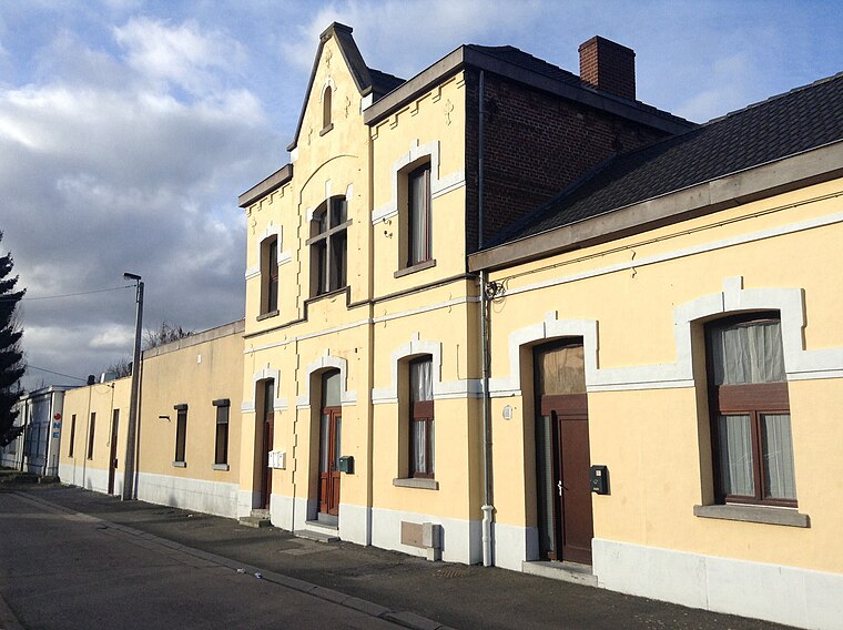
Photo: Anandali, CC BY-SA 3.0.
Flénu is a sub-municipality of the city of Mons located in the province of Hainaut, Wallonia, Belgium. The municipality of Flénu was formed on 8 June 1870, when it was detached from the municipality of Jemappes.
Jemappes
Village

Photo: Jean-Pol GRANDMONT, CC BY 3.0.
Jemappes is a sub-municipality of the city of Mons located in the province of Hainaut, Wallonia, Belgium. It was a separate municipality until 1977. On 8 June 1870, Flénu was detached from Jemappes, and was later merged into Jemappes in 1971.
Quaregnon
Town

Photo: Jean-Pol GRANDMONT, CC BY 2.5.
Quaregnon is a municipality of Wallonia located in the province of Hainaut, Belgium. On 1 January 2018 Quaregnon had a total population of 19,006. The total area is 11.08 km. The municipality consists of the following districts: Quaregnon and Wasmuel.
École Communale Albert Defrise
- Type: School
- Address: Rue Albert Defrise 29C
- Category: education
- Location: Mons, Arrondissement of Mons, Hainaut, Wallonia, Belgium, Benelux, Europe
- View on OpenStreetMap
Latitude
50.43804° or 50° 26′ 17″ northLongitude
3.88385° or 3° 53′ 2″ eastOpen location code
9F25CVQM+6GOpenStreetMap ID
way 140369174OpenStreetMap feature
amenity=school
This page is based on OpenStreetMap, Wikidata, and Wikimedia Commons.
We’d love your help improving our open data sources. Thank you for contributing.
Satellite Map
Discover École Communale Albert Defrise from above in high-definition satellite imagery.
Notable Places Nearby
Highlights include Cimetière de Flénu and Terril Sainte-Henriette.
Nearby Places
Explore places such as Flénu Rue de Valenciennes and Tempo Sport.
Hainaut: Must-Visit Destinations
Delve into Charleroi, Tournai, La Louvière, and Binche.
Curious Schools to Discover
Uncover intriguing schools from every corner of the globe.
About Mapcarta. Data © OpenStreetMap contributors and available under the Open Database License". Text is available under the CC BY-SA 4.0 license, except for photos, directions, and the map. Photo: Jean-Pol GRANDMONT, CC BY-SA 3.0.