Horseshoe Bog
Horseshoe Bog is in Town of West Gardiner, Kennebec, Maine. Horseshoe Bog is situated nearby to the neighborhood Spears Corner, as well as near Browns Corner.| Tap on a place to explore it |
Places in the Area
Nearby places include West Gardiner and Libby Hill.
West Gardiner
Village
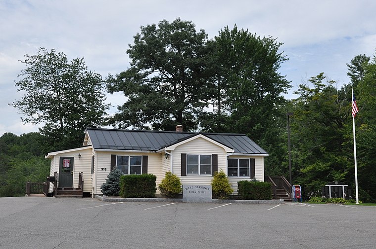
Photo: Magicpiano, CC BY-SA 4.0.
West Gardiner is a town in Kennebec County, Maine, United States. The population was 3,671 at the 2020 census. West Gardiner is included in the Augusta, Maine micropolitan New England City and Town Area.
Libby Hill
Neighborhood
Libby Hill is a village in the city of Gardiner in Kennebec County, Maine, United States. It is located near the intersection of U.S. Route 201 and Interstate 295 in western Gardiner. The village is the home of the city of Gardiner's Libby Hill Business Park.
Horseshoe Bog
- Type: Wetland
- Category: body of water
- Location: Town of West Gardiner, Kennebec, Maine, New England, United States, North America
- View on OpenStreetMap
Latitude
44.2006° or 44° 12′ 2″ northLongitude
-69.8871° or 69° 53′ 13″ westOpen location code
87PG6427+65OpenStreetMap ID
way 1416781674OpenStreetMap feature
natural=wetland
This page is based on OpenStreetMap, Wikidata, and Wikimedia Commons.
We’d love your help improving our open data sources. Thank you for contributing.
Satellite Map
Discover Horseshoe Bog from above in high-definition satellite imagery.
Places with the Same Name
Discover other places named “Horseshoe Bog”.
Localities in the Area
Explore places such as Spears Corner and Browns Corner.
Notable Places Nearby
Highlights include Horseshoe Pond and Hog Island.
Maine: Must-Visit Destinations
Delve into Augusta, Portland, Bangor, and Acadia National Park.
Curious Places to Discover
Uncover intriguing places from every corner of the globe.
About Mapcarta. Data © OpenStreetMap contributors and available under the Open Database License". Text is available under the CC BY-SA 4.0 license, except for photos, directions, and the map. Photo: Wikimedia, CC0.