Christopher Pratt’s Customer Parking
Christopher Pratt’s Customer Parking is a parking area in Leeds, England. Christopher Pratt’s Customer Parking is situated nearby to the neighborhood Leylands, as well as near Leeds College of Building.| Tap on a place to explore it |
- Type: Parking area
- Parking: surface
- Wheelchair access: yes
Places of Interest Nearby
Highlights include Leeds College of Building and Leeds Arena.
Leeds College of Building
College

Photo: Chemical Engineer, CC BY-SA 4.0.
Leeds College of Building in Leeds, West Yorkshire, England, is the only further education college in the UK which specialises in the construction industry. Leeds College of Building is situated 380 feet northwest of Christopher Pratt’s Customer Parking.
Leeds Arena
Theater building
 The Leeds Arena is an entertainment-focused indoor arena located in the Arena Quarter of Leeds, West Yorkshire, England. It is the first in the United Kingdom to have a fan-shaped orientation. Leeds Arena is situated 1,700 feet west of Christopher Pratt’s Customer Parking.
Victoria Leeds
Shopping center

Photo: Steve Fareham, CC BY-SA 2.0.
Victoria Leeds is a shopping district and leisure area in central Leeds, comprising the 1990 Victoria Quarter, an arcaded complex of restored 19th-century and contemporary shopping arcades, and the 2016 Victoria Gate development. Victoria Leeds is situated 1,700 feet southwest of Christopher Pratt’s Customer Parking.
Places in the Area
Nearby places include Leylands and Lovell Park.
Leylands
Neighborhood
The Leylands was an area of Leeds, north of the city centre and west of Mabgate. John Cossins' 1726 Plan of Leedes shows two fields marked Ley Lands north of Lady Lane and west of the Sheepscar Beck which correspond to the area.
Lovell Park
Suburb
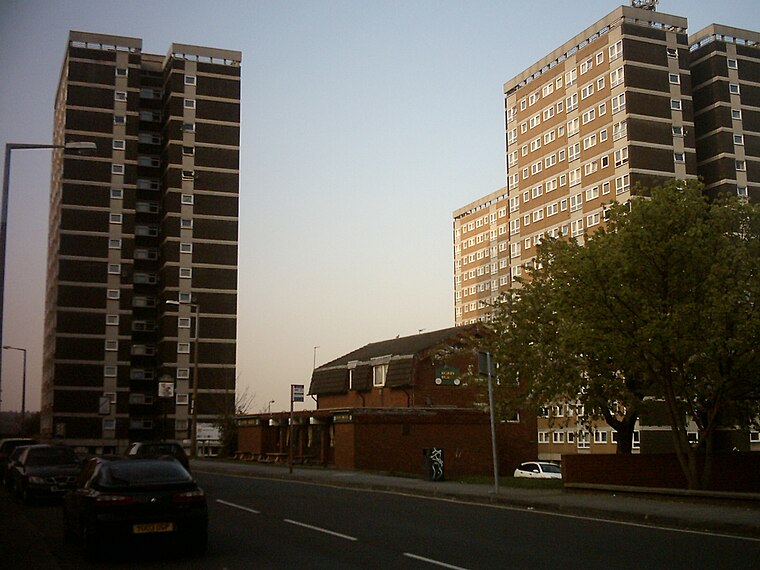
Photo: Mtaylor848, CC BY-SA 3.0.
Lovell Park is an inner-city area of Leeds, West Yorkshire, England. The area falls within the Little London and Woodhouse ward on Leeds City Council. Lovell Park along with its adjacent areas Little London and Blenheim, is an area of 1960s high-rise and maisonette council housing situated between the city centre and Sheepscar.
Quarry Hill
Neighborhood

Photo: Chemical Engineer, Public domain.
Quarry Hill is an area of central Leeds, West Yorkshire, England. It is bounded by the Leeds Inner Ring Road in the east and north and the Leeds – York / Hull railway in the south. The area falls within the City and Hunslet ward of Leeds City Council.
Christopher Pratt’s Customer Parking
- Category: transportation
- Location: Leeds, England, United Kingdom, Britain and Ireland, Europe
- View on OpenStreetMap
Latitude
53.80209° or 53° 48′ 8″ northLongitude
-1.53451° or 1° 32′ 4″ westOperator
Christopher PrattsOpen location code
9C5WRF28+R5OpenStreetMap ID
way 1416895235OpenStreetMap feature
amenity=parkingOpenStreetMap attribute
parking=surfaceOpenStreetMap attribute
wheelchair=yes
This page is based on OpenStreetMap, Wikidata, and Wikimedia Commons.
We’d love your help improving our open data sources. Thank you for contributing.
Satellite Map
Discover Christopher Pratt’s Customer Parking from above in high-definition satellite imagery.
Notable Places Nearby
Highlights include UCKG Help Centre and The Salvation Army.
Nearby Places
Explore places such as Byron Street and Christopher Pratt’s Private Parking.
England: Must-Visit Destinations
Delve into London, Manchester, Sheffield, and Leeds.
Curious Parking Areas to Discover
Uncover intriguing parking areas from every corner of the globe.
About Mapcarta. Data © OpenStreetMap contributors and available under the Open Database License". Text is available under the CC BY-SA 4.0 license, except for photos, directions, and the map. Photo: sidibousaid, CC BY 2.0.