Stadio Comunale
Stadio Comunale is a stadium in Portopalo di Capo Passero, Syracuse, Sicily. Stadio Comunale is situated nearby to the square Villaggio Romita, as well as near the church Chiesa della Madonna Greca Eleusa.| Tap on a place to explore it |
Places of Interest Nearby
Highlights include San Gaetano and Isola di Capo Passero.
San Gaetano
Church

Photo: Effems, CC BY-SA 4.0.
San Gaetano is a church, which is situated 710 metres north of Stadio Comunale.
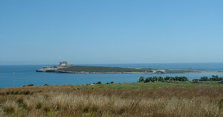
Scoglio Maltese
Islet

Photo: Paul Keller, CC BY 2.0.
Scoglio Maltese is an islet, which is situated 1½ km northeast of Stadio Comunale.
Places in the Area
Nearby places include Marzamemi.
Marzamemi
Village

Photo: Codas, CC BY-SA 4.0.
Marzamemi is a southern Italian hamlet of Pachino and Noto, two municipalities part of the Province of Syracuse, Sicily. Marzamemi is located by the Ionian Sea coast of the island of Sicily and is 3.97 kilometres from Pachino. Marzamemi is situated 7 km north of Stadio Comunale.
Stadio Comunale
- Type: Stadium
- Categories: recreation area, tourist attraction, and tourism
- Location: Portopalo di Capo Passero, Syracuse, Sicily, Italy, Europe
- View on OpenStreetMap
Latitude
36.67642° or 36° 40′ 35″ northLongitude
15.13486° or 15° 8′ 6″ eastOpen location code
8F8QM4GM+HWOpenStreetMap ID
way 1426745170OpenStreetMap feature
leisure=stadium
This page is based on OpenStreetMap, Wikidata, and Wikimedia Commons.
We’d love your help improving our open data sources. Thank you for contributing.
Satellite Map
Discover Stadio Comunale from above in high-definition satellite imagery.
Places with the Same Name
Discover other places named “Stadio Comunale”.
Notable Places Nearby
Highlights include Villaggio Romita and Complesso parrocchiale Antonio Rosmini.
Nearby Places
Explore places such as Express Wash and Al Faro da Corrado.
Syracuse: Must-Visit Destinations
Delve into Syracuse, Noto, Augusta, and Palazzolo.
Curious Stadiums to Discover
Uncover intriguing stadiums from every corner of the globe.
About Mapcarta. Data © OpenStreetMap contributors and available under the Open Database License". Text is available under the CC BY-SA 4.0 license, except for photos, directions, and the map. Photo: Wikimedia, CC0.