Lammebrug
Lammebrug is a bridge in Leiden, Bollenstreek, South Holland. Lammebrug is situated nearby to the bridge Knotterpolderbrug, as well as near Trekvlietbrug.| Tap on a place to explore it |
Places of Interest Nearby
Highlights include Lammebrug and Kasteel Cronesteyn.

Kasteel Cronesteyn
Ruins

Photo: Roelant Roghman, Public domain.
Kasteel Cronesteyn is a ruins, which is situated 300 metres east of Lammebrug.
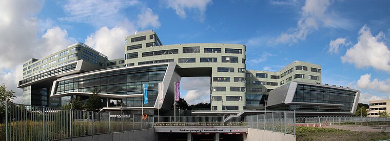
Leiden Lammenschans railway station
Railway station

Photo: Fantaglobe11, CC BY-SA 4.0.
Leiden Lammenschans is a railway station in Leiden, Netherlands. The station, designed by Koen van der Gaast, was opened on 18 May 1961. It is served by trains running between Leiden Centraal and Utrecht Centraal, and by RijnGouweLijn trains running between Leiden Centraal and Gouda at peak hours. Leiden Lammenschans railway station is situated 800 metres northeast of Lammebrug.
Places in the Area
Nearby places include Vreewijk and Roodenburg.


Lammebrug
- Type: Bridge
- Category: transportation
- Location: Leiden, Bollenstreek, South Holland, Western Netherlands, Netherlands, Benelux, Europe
- View on OpenStreetMap
Latitude
52.14057° or 52° 8′ 26″ northLongitude
4.48699° or 4° 29′ 13″ eastOpen location code
9F464FRP+6QOpenStreetMap ID
way 1429723713OpenStreetMap feature
man_made=bridge
This page is based on OpenStreetMap, Wikidata, and Wikimedia Commons.
We’d love your help improving our open data sources. Thank you for contributing.
Satellite Map
Discover Lammebrug from above in high-definition satellite imagery.
Places with the Same Name
Discover other places named “Lammebrug”.
Notable Places Nearby
Highlights include Knotterpolderbrug and Trekvlietbrug.
Nearby Places
Explore places such as Sterrenschanstunnel and Reconstructie Lammenschans.
Bollenstreek: Must-Visit Destinations
Delve into Katwijk, Lisse, Noordwijk, and Oegstgeest.
Curious Bridges to Discover
Uncover intriguing bridges from every corner of the globe.
About Mapcarta. Data © OpenStreetMap contributors and available under the Open Database License". Text is available under the CC BY-SA 4.0 license, except for photos, directions, and the map. Photo: Antony Antony, CC BY 2.0.