Baumaßnahme zum Hochwasserschutz
Baumaßnahme zum Hochwasserschutz is in South Hesse, Hesse. Baumaßnahme zum Hochwasserschutz is situated nearby to the health club Crossfit Zollhafen, as well as near the government office Hauptzollamt Mainz Abfst. Hafen.| Tap on a place to explore it |
Places of Interest Nearby
Highlights include Petersaue and Kaiserbrücke.

Kaiserbrücke
Bridge

Photo: Wikimedia, Public domain.
The Kaiserbrücke, today officially the Nordbrücke, is a railway span on the Mainz rail bypass across the Rhine at the north end of Mainz in the state of Rhineland-Palatinate, Germany. Kaiserbrücke is situated 400 metres northeast of Baumaßnahme zum Hochwasserschutz.
Liebfrauen (Mainz)
Church

Photo: Symposiarch, CC BY-SA 3.0.
Liebfrauen (Mainz) is a church, which is situated 760 metres south of Baumaßnahme zum Hochwasserschutz.
Places in the Area
Nearby places include Mainz-Amöneburg and Mombach.
Mainz-Amöneburg
Suburb
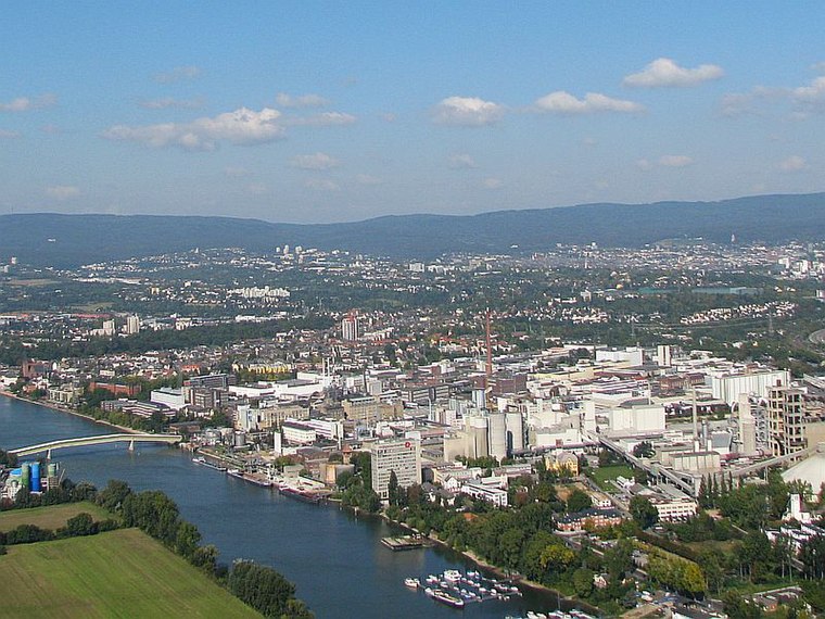
Photo: Wikimedia, CC BY-SA 3.0 de.
Mainz-Amöneburg is a district administered by the city of Wiesbaden, Germany. Its population is 1,743. Mainz-Amöneburg was formerly a district of the city of Mainz, until the public administration by the city of Wiesbaden was decided on August 10, 1945.
Mombach
Suburb
Mombach, with 13,927 inhabitants, is a borough in the northwest corner of Mainz, Germany. Mombach can be reached via Mainz-innenstadt or Bundesautobahn 643.
Hartenberg-Münchfeld
Suburb
Hartenberg-Münchfeld is a borough of the Rhineland-Palatinate state capital Mainz, Germany. Hartenberg-Münchfeld is known for the Bruchwegstadion former home of first league football club of 1.
Baumaßnahme zum Hochwasserschutz
- Type: Construction
- Location: South Hesse, Hesse, Germany, Central Europe, Europe
- View on OpenStreetMap
Latitude
50.02107° or 50° 1′ 16″ northLongitude
8.25258° or 8° 15′ 9″ eastOpen location code
9F2C27C3+C2OpenStreetMap ID
way 1430015247OpenStreetMap feature
landuse=construction
This page is based on OpenStreetMap, Wikidata, and Wikimedia Commons.
We’d love your help improving our open data sources. Thank you for contributing.
Satellite Map
Discover Baumaßnahme zum Hochwasserschutz from above in high-definition satellite imagery.
Notable Places Nearby
Highlights include Crossfit Zollhafen and Hauptzollamt Mainz Abfst. Hafen.
Nearby Places
Explore places such as Hochwasserpumpwerk and Route der Industriekultur Rhein-Main.
South Hesse: Must-Visit Destinations
Delve into Darmstadt, Bensheim, Lorsch, and Heppenheim.
Curious Places to Discover
Uncover intriguing places from every corner of the globe.
About Mapcarta. Data © OpenStreetMap contributors and available under the Open Database License". Text is available under the CC BY-SA 4.0 license, except for photos, directions, and the map. Photo: Mylius, GFDL.