Baz Allergy Asthma & Sinus Center
Baz Allergy Asthma & Sinus Center is a clinic in Stanislaus County, San Joaquin Valley, California which is located on Lander Avenue. Baz Allergy Asthma & Sinus Center is situated nearby to the park Tot Lot, as well as near the aerodrome Turlock Airpark.| Tap on a place to explore it |
Places of Interest Nearby
Highlights include Turlock High School.
Turlock High School
School
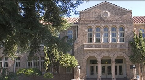
Photo: goldleviathan, CC BY 3.0.
Turlock High School is a comprehensive high school located in Turlock, in the heart of the northern San Joaquin Valley in the U.S. state of California. Turlock High School is situated 2 miles northeast of Baz Allergy Asthma & Sinus Center.
Places in the Area
Nearby places include Turlock and Denair.
Turlock
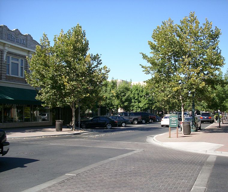
Photo: Intothewoods29, Public domain.
Turlock is in California's San Joaquin Valley. It is the home of California State University Stanislaus.
Denair
Village

Photo: Pi.1415926535, CC BY-SA 4.0.
Denair is a census-designated place in Stanislaus County, California, United States. The population was 4,865 at the 2020 census, up from 4,404 at the 2010 census. It is part of the Modesto Metropolitan Statistical Area. Denair is situated 4½ miles northeast of Baz Allergy Asthma & Sinus Center.
Hilmar
Hilmar is a small town in the San Joaquin Valley of California. It boasts the world's largest single site cheese plant.Baz Allergy Asthma & Sinus Center
- Type: Clinic
- Address: 1853 Lander Avenue, Turlock, CA 95380
- Categories: health care and building
- Location: Stanislaus County, San Joaquin Valley, California, United States, North America
- View on OpenStreetMap
Latitude
37.47536° or 37° 28′ 31″ northLongitude
-120.85096° or 120° 51′ 4″ westBranch
TurlockOpen location code
849XF4GX+4JOpenStreetMap ID
way 1431588376OpenStreetMap feature
amenity=clinicOpenStreetMap feature
building=yesOpenStreetMap feature
healthcare=clinic
This page is based on OpenStreetMap, Wikidata, and Wikimedia Commons.
We’d love your help improving our open data sources. Thank you for contributing.
Satellite Map
Discover Baz Allergy Asthma & Sinus Center from above in high-definition satellite imagery.
Notable Places Nearby
Highlights include Tot Lot and Turlock Airpark.
Nearby Places
Explore places such as Home2 Suites by Hilton Turlock and Jack in the Box.
Stanislaus County: Must-Visit Destinations
Delve into Modesto, Turlock, Oakdale, and Patterson.
Curious Clinics to Discover
Uncover intriguing clinics from every corner of the globe.
About Mapcarta. Data © OpenStreetMap contributors and available under the Open Database License". Text is available under the CC BY-SA 4.0 license, except for photos, directions, and the map. Photo: Wikimedia, CC0.