Marie-Anahis
Marie-Anahis is a social service facility in Hainaut, Wallonia which is located on Rue Royale. Marie-Anahis is situated nearby to Hautrage Military Cemetery, as well as near Hippisme.| Tap on a place to explore it |
- Type: Social service facility
- Also known as: “Mirenah”
- Address: Rue Royale 46 and 48, Tertre, 7333
Places of Interest Nearby
Highlights include Hautrage Military Cemetery and Saint-Ghislain railway station.
Hautrage Military Cemetery
Cemetery

Photo: Wernervc, CC BY-SA 3.0.
Hautrage Military Cemetery is situated 1 km west of Marie-Anahis.
Saint-Ghislain railway station
Railway station

Photo: Japplemedia, CC BY-SA 4.0.
Saint-Ghislain railway station is situated 3½ km southeast of Marie-Anahis.
Boussu railway station
Railway stop
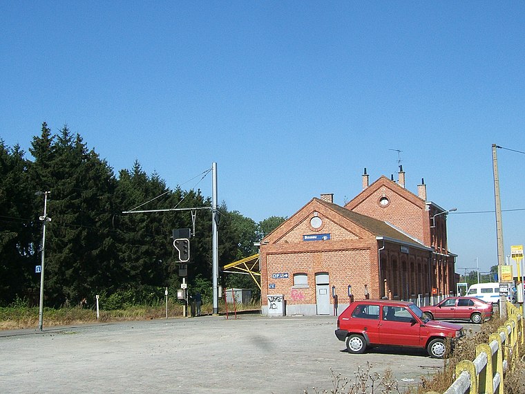
Photo: LHOON, CC BY-SA 3.0.
Boussu railway station is a railway stop, which is situated 4 km south of Marie-Anahis.
Places in the Area
Nearby places include Hautrage and Saint-Ghislain.
Hautrage
Village

Photo: Jean-Pol GRANDMONT, CC BY-SA 3.0.
Hautrage is a village, which is situated 2½ km northwest of Marie-Anahis.
Saint-Ghislain
Town
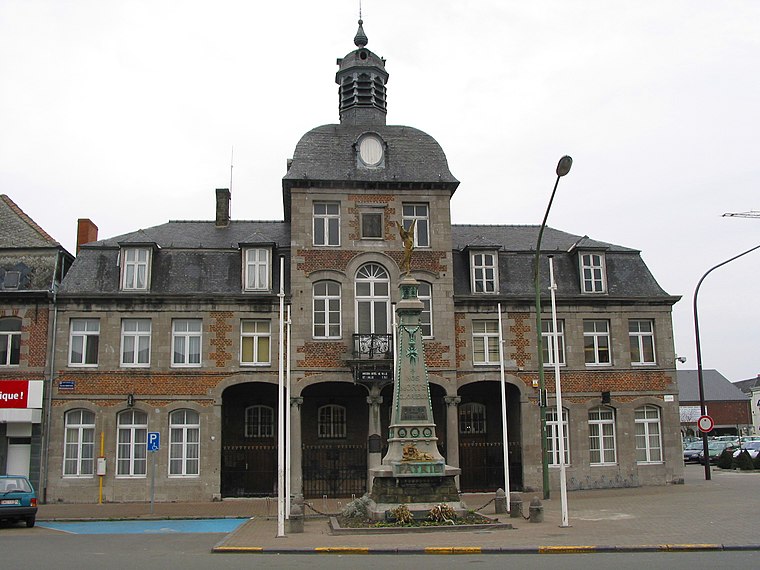
Photo: Jean-Pol GRANDMONT, CC BY 2.5.
Saint-Ghislain is a city and municipality of Wallonia located in the province of Hainaut, Belgium. On 1 January 2018 the municipality had 23,335 inhabitants. Saint-Ghislain is situated 3 km southeast of Marie-Anahis.
Boussu
Town

Photo: Jean-Pol GRANDMONT, CC BY 3.0.
Boussu is a municipality of Wallonia located in the province of Hainaut, Belgium. As of January 1, 2006, Boussu had a population of 20,058. The total area is 20.01 km. The municipality consists of the following districts: Boussu and Hornu. Boussu is situated 4 km south of Marie-Anahis.
Marie-Anahis
- Categories: health care and hospice
- Location: Hainaut, Wallonia, Belgium, Benelux, Europe
- View on OpenStreetMap
Latitude
50.47076° or 50° 28′ 15″ northLongitude
3.79478° or 3° 47′ 41″ eastOpen location code
9F25FQCV+8WOpenStreetMap ID
way 1434032513OpenStreetMap feature
amenity=social_facilityOpenStreetMap feature
healthcare=hospice
This page is based on OpenStreetMap, Wikidata, and Wikimedia Commons.
We’d love your help improving our open data sources. Thank you for contributing.
Satellite Map
Discover Marie-Anahis from above in high-definition satellite imagery.
Notable Places Nearby
Highlights include Hippisme and Petanque Club Tertre - Esperance.
Nearby Places
Explore places such as Séniorerie Les Aulnois and Louis Delhaize.
Hainaut: Must-Visit Destinations
Delve into Charleroi, Mons, Tournai, and La Louvière.
Curious Social Service Facilities to Discover
Uncover intriguing social service facilities from every corner of the globe.
About Mapcarta. Data © OpenStreetMap contributors and available under the Open Database License". Text is available under the CC BY-SA 4.0 license, except for photos, directions, and the map. Photo: Jean-Pol GRANDMONT, CC BY-SA 3.0.