Milence Charging Hub Mogendorf
Milence Charging Hub Mogendorf is in Mogendorf, Westerwaldkreis, Rhineland-Palatinate. Milence Charging Hub Mogendorf is situated nearby to the public building Racing Event Motorsport, as well as near the fire station Freiwillige Feuerwehr Mogendorf.| Tap on a place to explore it |
Places of Interest Nearby
Highlights include Evangelische Kirche and St. Markus.
Evangelische Kirche
Church
 Evangelische Kirche is a church, which is situated 520 metres northeast of Milence Charging Hub Mogendorf.
St. Markus
Church
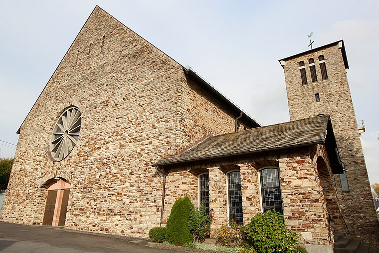
Photo: LigaDue, CC BY-SA 4.0.
St. Markus is a church, which is situated 3 km southwest of Milence Charging Hub Mogendorf.
Westerwälder Dom
Church

Photo: LigaDue, CC BY-SA 4.0.
Westerwälder Dom is the common name of the church St. Bonifatius in Wirges in the Westerwald region, Germany. It was built in Gothic revival style from 1885 to 1887. It has been called Westerwälder Dom from 1902. Westerwälder Dom is situated 4 km southeast of Milence Charging Hub Mogendorf.
Places in the Area
Nearby places include Mogendorf and Siershahn.
Mogendorf
Village

Photo: LigaDue, CC BY-SA 4.0.
Mogendorf is a municipality in Westerwaldkreis district, Rhineland-Palatinate, in western Germany.
Siershahn
Village

Photo: LigaDue, CC BY-SA 4.0.
Siershahn is an Ortsgemeinde – a community belonging to a Verbandsgemeinde – in the Westerwaldkreis in Rhineland-Palatinate, Germany.
Ebernhahn
Village

Photo: LigaDue, CC BY-SA 4.0.
Ebernhahn is an Ortsgemeinde – a municipality belonging to a Verbandsgemeinde – in the Westerwaldkreis in Rhineland-Palatinate, Germany.
Milence Charging Hub Mogendorf
- Type: Commerce
- Location: Mogendorf, Westerwaldkreis, Rhineland-Palatinate, Germany, Central Europe, Europe
- View on OpenStreetMap
Latitude
50.48947° or 50° 29′ 22″ northLongitude
7.75389° or 7° 45′ 14″ eastBrand
MilenceOperator
MilenceOpen location code
9F29FQQ3+QHOpenStreetMap ID
way 1441682606OpenStreetMap feature
amenity=charging_stationOpenStreetMap feature
landuse=commercial
This page is based on OpenStreetMap, Wikidata, and Wikimedia Commons.
We’d love your help improving our open data sources. Thank you for contributing.
Satellite Map
Discover Milence Charging Hub Mogendorf from above in high-definition satellite imagery.
Notable Places Nearby
Highlights include Racing Event Motorsport and Freiwillige Feuerwehr Mogendorf.
Nearby Places
Explore places such as REMA Tip Top and ELKATHERM.
Rhineland-Palatinate: Must-Visit Destinations
Delve into Mainz, Trier, Koblenz, and Worms.
Curious Places to Discover
Uncover intriguing places from every corner of the globe.
About Mapcarta. Data © OpenStreetMap contributors and available under the Open Database License". Text is available under the CC BY-SA 4.0 license, except for photos, directions, and the map. Photo: Traveler100, CC BY-SA 3.0.