RIF Logistics
RIF Logistics is an industrial building in Dunstable, Central Bedfordshire, England which is located on Frenchs Avenue. RIF Logistics is situated nearby to the church Kingom Hall of Jehovah’s Witnesses, as well as near the archaeological site Maiden Bower.| Tap on a place to explore it |
Places of Interest Nearby
Highlights include Weatherfield Academy and St Fremund the Martyr.
Weatherfield Academy
School
Weatherfield Academy is a mixed special school located in Dunstable, Bedfordshire, England. The school accepts pupils from all over the Central Bedfordshire area. Weatherfield Academy is situated 2,200 feet south of RIF Logistics.
St Fremund the Martyr
Church
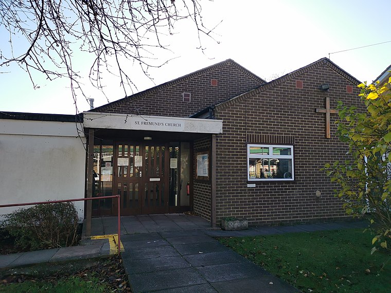
Photo: Alex.brad, CC BY-SA 4.0.
St Fremund the Martyr is a church, which is situated 2,900 feet southeast of RIF Logistics.
All Saints Academy
School
All Saints Academy is a co-ed secondary school located in Dunstable, Bedfordshire, England. All Saints educates 11- to 16-year-olds, as well as mainly from the town of Dunstable and some surrounding villages. All Saints Academy is situated 3,000 feet east of RIF Logistics.
Places in the Area
Nearby places include Sewell and Church End.
Sewell
Hamlet
Sewell is a hamlet located in the Central Bedfordshire district of Bedfordshire, England. Sewell is a small rural settlement, though it is located near to the town of Dunstable.
Church End
Village
Church End is a hamlet located in Bedfordshire, England. The settlement forms part of the wider Totternhoe village and civil parish, with Church End being the closest part of the parish to the larger town of Dunstable.
Thorn
Neighborhood
Thorn is a hamlet located in the Central Bedfordshire district of Bedfordshire, England. The settlement is located to the north of Bidwell and Houghton Regis, and to the south of Wingfield and Chalgrave.
RIF Logistics
- Type: Industrial building
- Address: 5-7 Frenchs Avenue, Dunstable, LU6 1BH
- Categories: building and industry
- Location: Dunstable, Central Bedfordshire, England, United Kingdom, Britain and Ireland, Europe
- View on OpenStreetMap
Latitude
51.89443° or 51° 53′ 40″ northLongitude
-0.54461° or 0° 32′ 41″ westOpen location code
9C3XVFV4+Q5OpenStreetMap ID
way 1448262698OpenStreetMap feature
building=industrial
This page is based on OpenStreetMap, Wikidata, and Wikimedia Commons.
We’d love your help improving our open data sources. Thank you for contributing.
Satellite Map
Discover RIF Logistics from above in high-definition satellite imagery.
Notable Places Nearby
Highlights include Kingom Hall of Jehovah’s Witnesses and Maiden Bower.
Nearby Places
Explore places such as Creasey Park Community Football Centre and Aidans Close.
England: Must-Visit Destinations
Delve into London, Manchester, Sheffield, and Leeds.
Curious Industrial Buildings to Discover
Uncover intriguing industrial buildings from every corner of the globe.
About Mapcarta. Data © OpenStreetMap contributors and available under the Open Database License". Text is available under the CC BY-SA 4.0 license, except for photos, directions, and the map. Photo: Peter Skuce, Public domain.