Beethovenstraße/KFH
Beethovenstraße/KFH is a parking area in Mönchengladbach, Düsseldorf, North Rhine-Westphalia. Beethovenstraße/KFH is situated nearby to the garden Kaiserpark, as well as near the community center Johanna Höters Haus.| Tap on a place to explore it |
Places of Interest Nearby
Highlights include Kaiser-Friedrich-Halle and Abteiberg Museum.
Kaiser-Friedrich-Halle
Theater building

Photo: Wikimedia, CC BY-SA 3.0.
Kaiser-Friedrich-Halle is a theater building, which is situated 160 metres east of Beethovenstraße/KFH.
Abteiberg Museum
Museum
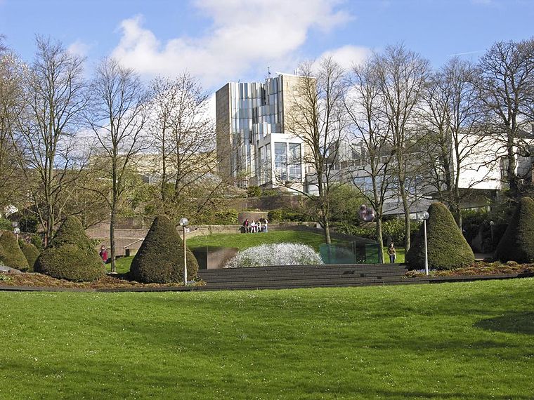
Photo: Hps-poll, CC BY-SA 3.0.
Museum Abteiberg is a municipal museum for contemporary art in the German city Mönchengladbach. Since the 1970s, the museum has been known for its experimental and avant-garde exhibitions, starting with director Johannes Cladders, and also its museum architecture, designed by Austrian architect Hans Hollein – a highpoint of postmodern design. Abteiberg Museum is situated 1 km south of Beethovenstraße/KFH.
St. Barbara
Church

Photo: Wikimedia, CC BY-SA 3.0 de.
St. Barbara is a church, which is situated 360 metres northwest of Beethovenstraße/KFH.
Places in the Area
Nearby places include Am Wasserturm and Lürrip.

Lürrip
Neighborhood

Photo: Chris06, CC BY-SA 4.0.
Lürrip is a neighborhood, which is situated 3 km east of Beethovenstraße/KFH.
Lockhütte
Neighborhood
 Lockhütte is a neighborhood, which is situated 3½ km north of Beethovenstraße/KFH.
Beethovenstraße/KFH
- Type: Parking area
- Parking: surface
- Category: transportation
- Location: Mönchengladbach, Düsseldorf, Lower Rhine, North Rhine-Westphalia, Germany, Central Europe, Europe
- View on OpenStreetMap
Latitude
51.20056° or 51° 12′ 2″ northLongitude
6.43431° or 6° 26′ 4″ eastOpen location code
9F386C2M+6POpenStreetMap ID
way 14524811OpenStreetMap feature
amenity=parkingOpenStreetMap attribute
parking=surface
This page is based on OpenStreetMap, Wikidata, and Wikimedia Commons.
We’d love your help improving our open data sources. Thank you for contributing.
Satellite Map
Discover Beethovenstraße/KFH from above in high-definition satellite imagery.
Notable Places Nearby
Highlights include Kaiserpark and Johanna Höters Haus.
Nearby Places
Explore places such as Beethovenstraße and Torso & Figur in zwei Teilen.
Lower Rhine: Must-Visit Destinations
Delve into Düsseldorf, Krefeld, Neuss, and Kleve.
Curious Parking Areas to Discover
Uncover intriguing parking areas from every corner of the globe.
About Mapcarta. Data © OpenStreetMap contributors and available under the Open Database License". Text is available under the CC BY-SA 4.0 license, except for photos, directions, and the map. Photo: CaS2000, CC BY-SA 3.0 de.