Colegio Público Pasamonte
Colegio Público Pasamonte is a school in Moratalaz, Madrid, Community of Madrid which is located on Avenida del Doctor García Tapia. Colegio Público Pasamonte is situated nearby to the playground Área infantil 14029, as well as near the church Nuestra Señora de la Montaña.| Tap on a place to explore it |
Places of Interest Nearby
Highlights include Vinateros and Cuña Verde de O’Donnell Park.
Vinateros
Metro station
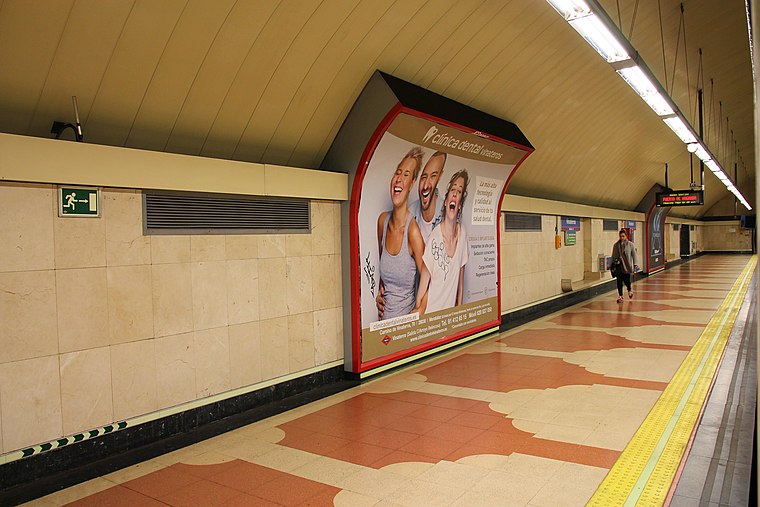
Photo: Draceane, CC BY-SA 4.0.
Vinateros is a station on Line 9 of the Madrid Metro, serving the Vinateros barrio. It is located in fare Zone A. Vinateros is situated 500 metres southwest of Colegio Público Pasamonte.
Cuña Verde de O’Donnell Park
Park

Photo: Roman Santos, CC BY 2.0.
Cuña Verde de O’Donnell Park is situated 550 metres east of Colegio Público Pasamonte.
Artilleros
Metro station

Photo: Draceane, CC BY-SA 4.0.
Artilleros is a station on Line 9 of the Madrid Metro, located under the Calle Pico de los Artilleros. It is located in fare Zone A. Artilleros is situated 1 km southeast of Colegio Público Pasamonte.
Places in the Area
Nearby places include Marroquina and Moratalaz.
Marroquina
Quarter
Photo: Roman Santos, CC BY 2.0.
Marroquina is an administrative neighborhood of Madrid belonging to the district of Moratalaz. It is 1.789256 km2 in size and has a 6,746 m perimeter.
Moratalaz
Suburb

Photo: Michiel1972, CC BY-SA 3.0.
Moratalaz is a district of Madrid, Spain. It is a well-known area because musicians such as Melendi and Alejandro Sanz have lived there. Moratalaz is on east of municipality of Madrid.
Media Legua
Quarter

Photo: Wikimedia, CC BY-SA 2.5.
Media Legua is an administrative neighborhood of Madrid belonging to the district of Moratalaz. It has an area of 0.999539 km2. As of 1 March 2020, it has a population of 17,977.
Colegio Público Pasamonte
- Type: School
- Address: Avenida del Doctor García Tapia 47, Madrid, 28030
- Category: education
- Location: Moratalaz, Madrid, Madrid, Community of Madrid, Central Spain, Spain, Iberia, Europe
- View on OpenStreetMap
Latitude
40.41262° or 40° 24′ 45″ northLongitude
-3.64743° or 3° 38′ 51″ westOpen location code
8CGRC973+22OpenStreetMap ID
way 145439741OpenStreetMap feature
amenity=school
This page is based on OpenStreetMap, Wikidata, and Wikimedia Commons.
We’d love your help improving our open data sources. Thank you for contributing.
Satellite Map
Discover Colegio Público Pasamonte from above in high-definition satellite imagery.
Notable Places Nearby
Highlights include Área infantil 14029 and Nuestra Señora de la Montaña.
Nearby Places
Explore places such as Colegio Pasamonte and Farmacia Precioso.
Madrid: Must-Visit Destinations
Delve into Sol-Letras-Lavapiés, Salamanca, Retiro-Paseo del Arte, and Chamberí-Castellana.
Curious Places to Discover
Uncover intriguing places from every corner of the globe.
About Mapcarta. Data © OpenStreetMap contributors and available under the Open Database License". Text is available under the CC BY-SA 4.0 license, except for photos, directions, and the map. Photo: DonPaolo, CC BY-SA 3.0.