Edif. Cenit
Edif. Cenit is a residential building in Benidorm, Costa Blanca, Valencian Community. Edif. Cenit is situated nearby to Hotel RH Princesa, as well as near the church La Iglesia de Jesucristo de los Santos de los Últimos Días.| Tap on a place to explore it |
Places of Interest Nearby
Highlights include Hotel RH Princesa and Hotel RH Victoria Benidorm.

Hotel RH Victoria Benidorm
Hotel
 Hotel RH Victoria Benidorm is situated 220 metres south of Edif. Cenit.
Museu Boca del Calvari
Museum
 Museu Boca del Calvari is a museum, which is situated 640 metres southwest of Edif. Cenit.
Places in the Area
Nearby places include L’Alfàs del Pi and L’Albir.
L’Alfàs del Pi
Village
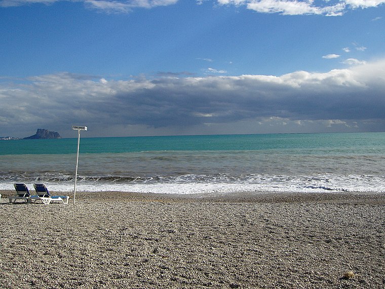
Photo: Jackrm, Public domain.
L'Alfàs del Pi is a Valencian town and municipality located in the comarca of Marina Baixa, in the province of Alicante, Spain, lying at the foot of Serra Gelada. L’Alfàs del Pi is situated 5 km northeast of Edif. Cenit.
L’Albir
Suburb
Photo: Jackrm, Public domain.
L’Albir is a suburb, which is situated 6 km northeast of Edif. Cenit.
Finestrat
Village

Photo: Joanbanjo, CC BY-SA 4.0.
Finestrat is a municipality in the comarca of Marina Baixa, Alicante in the Valencian Community, Spain. Finestrat is situated 8 km west of Edif. Cenit.
Edif. Cenit
- Type: Residential building
- Category: building
- Location: Benidorm, Costa Blanca, Alicante, Valencian Community, Eastern Spain, Spain, Iberia, Europe
- View on OpenStreetMap
Latitude
38.54082° or 38° 32′ 27″ northLongitude
-0.12629° or 0° 7′ 35″ westLevels
15Open location code
8CCXGVRF+8FOpenStreetMap ID
way 1459083321OpenStreetMap feature
building=residential
This page is based on OpenStreetMap, Wikidata, and Wikimedia Commons.
We’d love your help improving our open data sources. Thank you for contributing.
Satellite Map
Discover Edif. Cenit from above in high-definition satellite imagery.
Notable Places Nearby
Highlights include La Iglesia de Jesucristo de los Santos de los Últimos Días and Oficina de Atención al Ciudadano.
Nearby Places
Explore places such as Edif. Acacias II and Park. privado C.P. Edif. Cenit.
Costa Blanca: Must-Visit Destinations
Delve into Alicante, Elche, Torrevieja, and Dénia.
Curious Residential Buildings to Discover
Uncover intriguing residential buildings from every corner of the globe.
About Mapcarta. Data © OpenStreetMap contributors and available under the Open Database License". Text is available under the CC BY-SA 4.0 license, except for photos, directions, and the map. Photo: Jrr233, CC BY-SA 3.0.