Biotopia betreutes Wohnen
Biotopia betreutes Wohnen is a social service facility in Mannheim, Karlsruhe Region, Baden-Württemberg which is located on Friedrichstraße. Biotopia betreutes Wohnen is situated nearby to the community center Volkshaus Neckarau, as well as near the art gallery Galerie O.G. Zimmermann.| Tap on a place to explore it |
Places of Interest Nearby
Highlights include St.-Jakobus-Kirche and Stollenwörthweiher.
St.-Jakobus-Kirche
Church
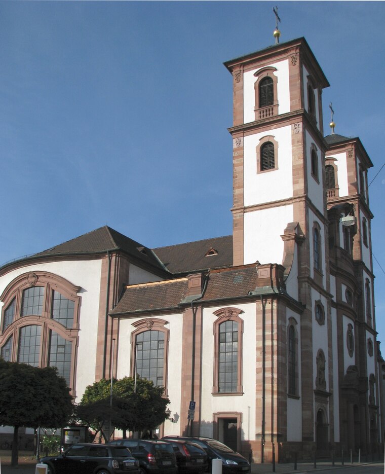
Photo: Frank-m, CC BY-SA 3.0.
St.-Jakobus-Kirche is a church, which is situated 350 metres east of Biotopia betreutes Wohnen.

Diakonissenkrankenhaus Mannheim
Hospital
 Diakonissenkrankenhaus Mannheim is a hospital, which is situated 1½ km northwest of Biotopia betreutes Wohnen.
Places in the Area
Nearby places include Altrip and Hochstätt.
Altrip
Village

Photo: Immanuel Giel, Public domain.
Altrip is a municipality in the Rhein-Pfalz-Kreis, in Rhineland-Palatinate, Germany. It is situated on the left bank of the Rhine, approx. 7 km southeast of Ludwigshafen. The population in 2022 was 7,728.

Ludwigshafen

Photo: Engelberger, CC BY-SA 3.0.
Ludwigshafen, officially Ludwigshafen am Rhein, is a city in the German state of Rhineland-Palatinate, on the river Rhine, opposite Mannheim. With Mannheim, Heidelberg, and the surrounding region, it forms the Rhine-Neckar Metropolitan Region.
Biotopia betreutes Wohnen
- Type: Social service facility
- Address: Friedrichstraße 68-70, Mannheim, 68199
- Category: building
- Location: Mannheim, Karlsruhe Region, Rhine-Neckar, Baden-Württemberg, Germany, Central Europe, Europe
- View on OpenStreetMap
Latitude
49.45317° or 49° 27′ 11″ northLongitude
8.48518° or 8° 29′ 7″ eastOpen location code
8FXCFF3P+73OpenStreetMap ID
way 146446336OpenStreetMap feature
amenity=social_facilityOpenStreetMap feature
building=yes
This page is based on OpenStreetMap, Wikidata, and Wikimedia Commons.
We’d love your help improving our open data sources. Thank you for contributing.
Satellite Map
Discover Biotopia betreutes Wohnen from above in high-definition satellite imagery.
Notable Places Nearby
Highlights include Volkshaus Neckarau and Galerie O.G. Zimmermann.
Nearby Places
Explore places such as Naturheilpraxis Martina Langlotz and Neckarauer Bauerngehöft.
Rhine-Neckar: Must-Visit Destinations
Delve into Heidelberg, Karlsruhe, Heilbronn, and Sinsheim.
Curious Social Service Facilities to Discover
Uncover intriguing social service facilities from every corner of the globe.
About Mapcarta. Data © OpenStreetMap contributors and available under the Open Database License". Text is available under the CC BY-SA 4.0 license, except for photos, directions, and the map. Photo: HubiB, CC BY 2.5.