Nittida
Nittida is in Comuna 8, Buenos Aires, Buenos Aires. Nittida is situated nearby to the sports venue Polideportivo Piletones, as well as near Sacachispas Fútbol Club.| Tap on a place to explore it |
Places of Interest Nearby
Highlights include Presidente Illia train station and Parque de la Ciudad.
Presidente Illia train station
Railway station

Photo: Falk2, CC BY-SA 4.0.
Presidente Illia train station is a railway station, which is situated 630 metres east of Nittida.
Parque de la Ciudad
Park

Photo: Fernando.gabriel.rey, CC BY-SA 4.0.
The Parque de la Ciudad is a public park and former amusement park in the Villa Soldati neighborhood of Buenos Aires, Argentina. Parque de la Ciudad is situated 780 metres southeast of Nittida.
Torre Espacial

Photo: Ocpconline, CC BY-SA 3.0.
Torre Espacial, or Torre Interama, is a 200 metres high observation tower in the Villa Soldati section of Buenos Aires, Argentina. The tower was designed and manufactured in Austria by Waagner-Biro, and built between 1980 and May 1981 for the Parque de la Ciudad amusement park. Torre Espacial is situated 1 km southeast of Nittida.
Places in the Area
Nearby places include Villa 1-11-14 and Villa Lugano.

Villa Lugano
Suburb

Photo: Wikimedia, CC BY-SA 3.0.
Villa Lugano is a barrio in Buenos Aires, Argentina, located in the south of the city. It has a population of approximately 114,000 people. It is delimited by Avenida Eva Perón, Avenida General Paz, Calle José Barros Pazos, Avenida Lisandro de la Torre, Avenida Coronel Roca and Avenida Escalada.
General Savio Neighborhood
Quarter
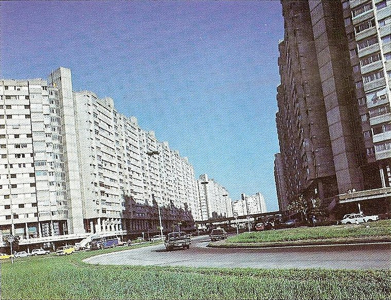
Photo: Wikimedia, Public domain.
General Savio Neighborhood is a quarter.
Nittida
- Type: Commerce
- Location: Comuna 8, Buenos Aires, Buenos Aires, Pampas, Argentina, South America
- View on OpenStreetMap
Latitude
-34.6652° or 34° 39′ 55″ southLongitude
-58.45447° or 58° 27′ 16″ westOpen location code
48Q38GMW+W6OpenStreetMap ID
way 149680477OpenStreetMap feature
landuse=commercial
This page is based on OpenStreetMap, Wikidata, and Wikimedia Commons.
We’d love your help improving our open data sources. Thank you for contributing.
Satellite Map
Discover Nittida from above in high-definition satellite imagery.
Notable Places Nearby
Highlights include Polideportivo Piletones and Sacachispas Fútbol Club.
Nearby Places
Explore places such as MZ 8 and Antorcha de La Fe.
Buenos Aires: Must-Visit Destinations
Delve into Centro, Palermo & Recoleta, La Boca & Barracas, and Outskirts.
Curious Places to Discover
Uncover intriguing places from every corner of the globe.
About Mapcarta. Data © OpenStreetMap contributors and available under the Open Database License". Text is available under the CC BY-SA 4.0 license, except for photos, directions, and the map. Photo: Moemoemoe, CC0.