B
B is an apartment building in California, United States. B is situated nearby to the police station Fremont Police Department, as well as near the playground Always Dream Play Park.| Tap on a place to explore it |
Places of Interest Nearby
Highlights include Fremont Central Park and Fremont station.
Fremont Central Park
Park
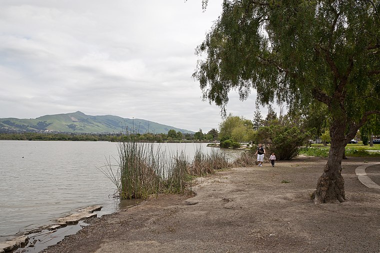
Photo: King of Hearts, CC BY-SA 3.0.
Fremont Central Park is a 450-acre manmade park in the central area of Fremont, California on Paseo Padre Parkway at Stevenson Boulevard. It is accessible from I-880 and I-680.
Fremont station
Metro station

Photo: Pi.1415926535, CC BY-SA 4.0.
Fremont station is a Bay Area Rapid Transit station in the central district of Fremont, California. The station is served by the Orange and Green lines. Fremont station is situated 2,400 feet west of B.
California School for the Blind
School
The California School for the Blind is a public educational institution for blind children, K-12, located in Fremont, California. Its campus is located next to the California School for the Deaf. California School for the Blind is situated 2,000 feet northeast of B.
Places in the Area
Nearby places include Shinn and Fremont.
Shinn
Hamlet
Shinn was a former unincorporated community around the Western Pacific Railroad station, constructed 1909 on the south bank of Alameda Creek at the end of Shinn Street.
Fremont

Photo: Mactographer, CC BY 2.5.
Fremont is a suburban city in the southern part of the East Bay of the San Francisco Bay Area; it is the 4th largest city in the Bay Area by population.
Dresser
Hamlet
Dresser is an unincorporated community in Alameda County, California. Its ZIP code is 94536 and its area codes are 510 and 341. Dresser is situated 2½ miles north of B.
B
- Type: Apartment building
- Categories: building and residential building
- Location: California, United States, North America
- View on OpenStreetMap
Latitude
37.55688° or 37° 33′ 25″ northLongitude
-121.96848° or 121° 58′ 7″ westLevels
3Open location code
849WH24J+QJOpenStreetMap ID
way 154072783OpenStreetMap feature
building=apartments
This page is based on OpenStreetMap, Wikidata, and Wikimedia Commons.
We’d love your help improving our open data sources. Thank you for contributing.
Satellite Map
Discover B from above in high-definition satellite imagery.
Notable Places Nearby
Highlights include Fremont Police Department and Always Dream Play Park.
Nearby Places
Explore places such as A and C.
California: Must-Visit Destinations
Delve into San Francisco, Los Angeles, San Diego, and Sacramento.
Curious Apartment Buildings to Discover
Uncover intriguing apartment buildings from every corner of the globe.
About Mapcarta. Data © OpenStreetMap contributors and available under the Open Database License". Text is available under the CC BY-SA 4.0 license, except for photos, directions, and the map. Photo: Wikimedia, CC BY-SA 2.0.