Pishkeswat park
Pishkeswat park is a park in Tehran, Central Iran. Pishkeswat park is situated nearby to the government office کارگزاری رسمی ۵۹ تهران, as well as near the college آموزشگاه نیکوپردازش.| Tap on a place to explore it |
Places of Interest Nearby
Highlights include Iranian Garden and Ararat.

Ararat
Stadium
 Ararat Stadium is a football stadium with 10,000 seats built in 1971 and located in the Ararat Sports Complex in the Vanak neighbourhood of Tehran, Iran. Ararat is situated 2 km east of Pishkeswat park.
Sheikh Bahaei Square
Grassland

Photo: Mahmoud Hashemi, CC BY-SA 2.0.
Sheikh Bahaei Square is in the Vanak area of the Iranian capital, Tehran. Sheikh Bahaei Square is situated 1½ km southeast of Pishkeswat park.
Places in the Area
Nearby places include District 2 and Evin.
District 2
Suburb

Photo: Blondinrikard Fröberg, CC BY 2.0.
District 2 of Tehran Municipality, is one of 2 municipality districts of Tehran, which is located in Northeast of Azadi Sq. It stretches from West to Northwest and Azadi St. to South, to Ashrafi Esfahani Highway and Mohammad Ali Jenah Expressway to West, and Chamran Highway to East.
Evin
Neighborhood
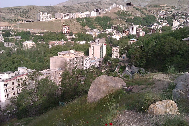
Photo: یوسف سعادت, CC BY-SA 3.0.
Evin is a neighbourhood in the north of Tehran. The district consists of an old section with homes surrounded by orchards and gardens and a new section with high rises and skyscrapers. Evin is situated 3 km north of Pishkeswat park.
District 3
Suburb

Photo: Wikimedia, CC BY-SA 2.0.
District 3 is a suburb, which is situated 4 km east of Pishkeswat park.
Pishkeswat park
- Type: Park
- Category: recreation area
- Location: Tehran, Central Iran, Iran, Middle East, Asia
- View on OpenStreetMap
Latitude
35.7735° or 35° 46′ 25″ northLongitude
51.38134° or 51° 22′ 53″ eastOpen location code
8H7HQ9FJ+CGOpenStreetMap ID
way 160101948OpenStreetMap feature
leisure=park
This page is based on OpenStreetMap, Wikidata, and Wikimedia Commons.
We’d love your help improving our open data sources. Thank you for contributing.
Satellite Map
Discover Pishkeswat park from above in high-definition satellite imagery.
Notable Places Nearby
Highlights include کارگزاری رسمی ۵۹ تهران and آموزشگاه نیکوپردازش.
Nearby Places
Explore places such as سنگک and بربری.
Tehran: Must-Visit Destinations
Delve into Tehran, Ray, Varamin, and Damavand.
Curious Parks to Discover
Uncover intriguing parks from every corner of the globe.
About Mapcarta. Data © OpenStreetMap contributors and available under the Open Database License". Text is available under the CC BY-SA 4.0 license, except for photos, directions, and the map. Photo: Wikimedia, CC0.