Dr. Meurerhuis
Dr. Meurerhuis is a school building in Government of Amsterdam, North Holland. Dr. Meurerhuis is situated nearby to the university Hogeschool van Amsterdam (BSV), as well as near the sports venue Sportcentrum Ookmeer.| Tap on a place to explore it |
Places of Interest Nearby
Highlights include Geuzeneiland and Heemtuin Sloterpark.
Geuzeneiland
Islet

Photo: Ceescamel, CC BY-SA 4.0.
Geuzeneiland is an islet, which is situated 430 metres north of Dr. Meurerhuis.
Heemtuin Sloterpark
Garden

Photo: Ceescamel, CC BY-SA 4.0.
Heemtuin Sloterpark is a garden, which is situated 500 metres northeast of Dr. Meurerhuis.
Allendemonument
Memorial

Photo: Ceescamel, CC BY-SA 4.0.
Allendemonument is a memorial, which is situated 320 metres east of Dr. Meurerhuis.
Places in the Area
Nearby places include Amsterdam Nieuw-West and Geuzenveld.
Amsterdam Nieuw-West
Suburb
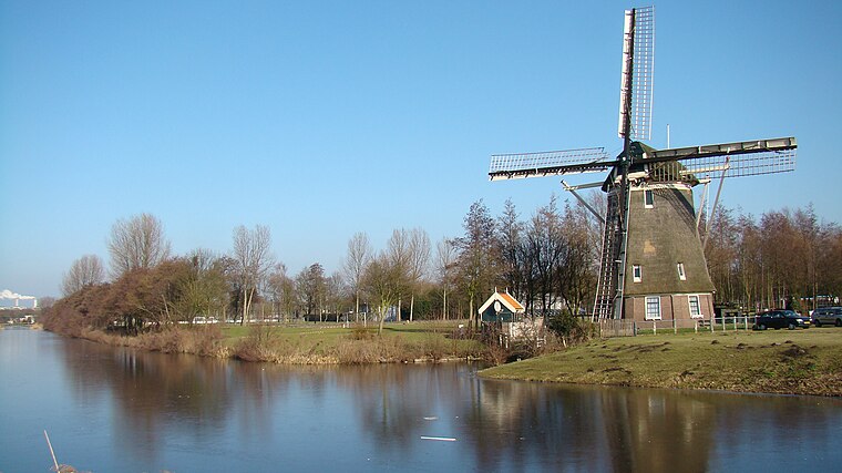
Photo: Arch, CC BY-SA 3.0.
Amsterdam Nieuw-West is a borough comprising the westernmost neighbourhoods of the city of Amsterdam, Netherlands. It was created in 2010 after a merger of the former boroughs Osdorp, Geuzenveld-Slotermeer and Slotervaart.
Geuzenveld
Quarter

Photo: Mojito, CC BY-SA 3.0.
Geuzenveld is a neighborhood of Amsterdam, Netherlands.
Osdorp
Quarter

Photo: Wikimedia, Public domain.
Osdorp is neighbourhood of Amsterdam, Netherlands. A larger area was, from 1981 until 2010, a stadsdeel of Amsterdam and in 2010 was merged into the new borough of Amsterdam Nieuw-West.
Dr. Meurerhuis
- Type: School building
- Also known as: “DMH”
- Categories: building and education
- Location: Government of Amsterdam, North Holland, Western Netherlands, Netherlands, Benelux, Europe
- View on OpenStreetMap
Latitude
52.36795° or 52° 22′ 5″ northLongitude
4.80612° or 4° 48′ 22″ eastInception
2006Open location code
9F469R94+5COpenStreetMap ID
way 160204353OpenStreetMap feature
building=school
This page is based on OpenStreetMap, Wikidata, and Wikimedia Commons.
We’d love your help improving our open data sources. Thank you for contributing.
Satellite Map
Discover Dr. Meurerhuis from above in high-definition satellite imagery.
Notable Places Nearby
Highlights include Hogeschool van Amsterdam (BSV) and Sportcentrum Ookmeer.
Nearby Places
Explore places such as Doktor Meurerlaan and Waterfort.
North Holland: Must-Visit Destinations
Delve into Amsterdam, Haarlem, Alkmaar, and Schiphol Airport.
Curious Places to Discover
Uncover intriguing places from every corner of the globe.
About Mapcarta. Data © OpenStreetMap contributors and available under the Open Database License". Text is available under the CC BY-SA 4.0 license, except for photos, directions, and the map. Photo: Arch, Public domain.