Freiwillige Feuerwehr Herforst
Freiwillige Feuerwehr Herforst is a fire station in Herforst, Bitburg-Prüm, Rhineland-Palatinate which is located on Lindenstraße. Freiwillige Feuerwehr Herforst is situated nearby to the church St. Eligius, as well as near the community center Pfarrhaus Herforst.| Tap on a place to explore it |
Places of Interest Nearby
Highlights include Spangdahlem Air Base.
Spangdahlem Air Base
Aerodrome

Photo: Wikimedia, Public domain.
Spangdahlem Air Base is a NATO air base with the United States Air Force as a tenant constructed between 1951 and 1953 and located near the small German town of Spangdahlem, approximately 30 kilometres north of the city of Trier, Rhineland-Palatinate. Spangdahlem Air Base is situated 3½ km north of Freiwillige Feuerwehr Herforst.
Places in the Area
Nearby places include Binsfeld and Beilingen.
Binsfeld
Village

Photo: QuartierLatin1968, CC BY-SA 2.0.
Binsfeld near Wittlich in the Eifel is an Ortsgemeinde – a municipality belonging to a Verbandsgemeinde, a kind of collective municipality – in the Bernkastel-Wittlich district in Rhineland-Palatinate, Germany. Nearby is the American Spangdahlem Air Base.
Beilingen
Village

Photo: Simone Probst Beilingen, CC BY-SA 4.0.
Beilingen is a municipality in the district of Bitburg-Prüm, in Rhineland-Palatinate, western Germany.
Niersbach
Village
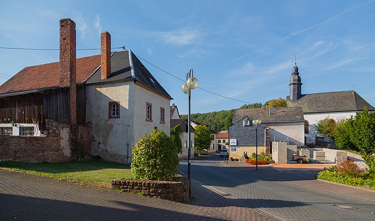
Photo: J.-H. Janßen, CC BY-SA 4.0.
Niersbach is an Ortsgemeinde – a municipality belonging to a Verbandsgemeinde, a kind of collective municipality – in the Bernkastel-Wittlich district in Rhineland-Palatinate, Germany. Niersbach is situated 3½ km east of Freiwillige Feuerwehr Herforst.
Freiwillige Feuerwehr Herforst
- Type: Fire station
- Address: Lindenstraße 20a, Herforst, 54662
- Categories: building and public building
- Location: Herforst, Bitburg-Prüm, Rhineland-Palatinate, Germany, Central Europe, Europe
- View on OpenStreetMap
Latitude
49.94718° or 49° 56′ 50″ northLongitude
6.69227° or 6° 41′ 32″ eastOperator
Verbandsgemeinde SpeicherOpen location code
8FX8WMWR+VWOpenStreetMap ID
way 161734125OpenStreetMap feature
amenity=fire_stationOpenStreetMap feature
building=public
This page is based on OpenStreetMap, Wikidata, and Wikimedia Commons.
We’d love your help improving our open data sources. Thank you for contributing.
Satellite Map
Discover Freiwillige Feuerwehr Herforst from above in high-definition satellite imagery.
Notable Places Nearby
Highlights include St. Eligius and Pfarrhaus Herforst.
Nearby Places
Explore places such as King’s Diner and Nicks Diner.
Rhineland-Palatinate: Must-Visit Destinations
Delve into Mainz, Trier, Koblenz, and Worms.
Curious Fire Stations to Discover
Uncover intriguing fire stations from every corner of the globe.
About Mapcarta. Data © OpenStreetMap contributors and available under the Open Database License". Text is available under the CC BY-SA 4.0 license, except for photos, directions, and the map. Photo: Traveler100, CC BY-SA 3.0.