Gym
Gym is a school building in San Luis Obispo County, Central Coast, California. Gym is situated nearby to the pitch West Field, as well as near East Field.| Tap on a place to explore it |
Places of Interest Nearby
Highlights include Arroyo Grande Community Hospital and Arroyo Grande High School.
Arroyo Grande Community Hospital
Hospital
Arroyo Grande Community Hospital is a hospital in Arroyo Grande, California, United States. It is part of the Dignity Health system. Arroyo Grande Community Hospital is situated 1½ miles southwest of Gym.
Arroyo Grande High School
School

Photo: Two.dog.john, Public domain.
Arroyo Grande High School is an American public high school located in Arroyo Grande, California. It serves grades 9–12 as part of the Lucia Mar Unified School District. Arroyo Grande High School is situated 1 mile southwest of Gym.
Places in the Area
Nearby places include Arroyo Grande and Grover Beach.
Arroyo Grande
 Arroyo Grande is in San Luis Obispo County in the Central Coast region of California. It is part of the Five Cities Metropolitan Area which also includes Oceano to the south-west, Grover Beach to the west, and Pismo Beach and Shell Beach to the north-west.
Grover Beach
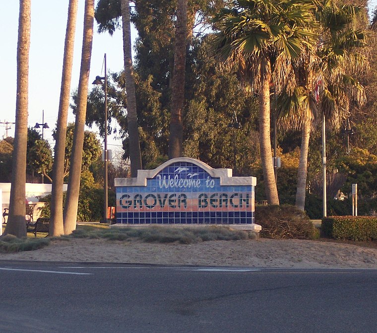 Grover Beach is in San Luis Obispo County in the Central Coast region of California. It is part of the Five Cities Metropolitan Area which also includes Oceano to the south, Arroyo Grande to the east, and Pismo Beach and Shell Beach to the north.
Oceano
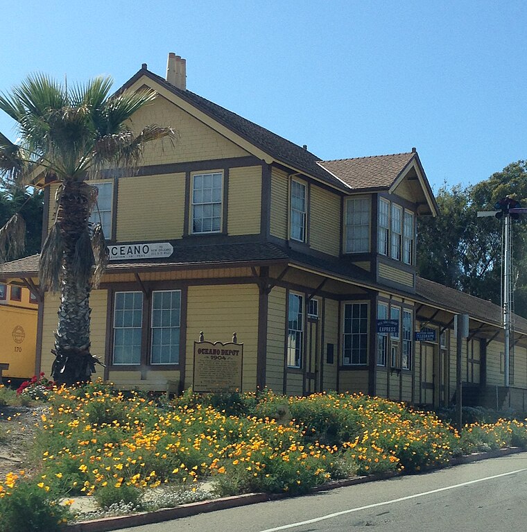
Photo: Fruitianslip, CC BY-SA 4.0.
Oceano is a city in San Luis Obispo County, California. It is part of the Five Cities Metropolitan Area which also includes Arroyo Grande to the north-east, and Grover Beach, Pismo Beach and Shell Beach to the north.
Gym
- Type: School building
- Categories: building and education
- Location: San Luis Obispo County, Central Coast, California, United States, North America
- View on OpenStreetMap
Latitude
35.12684° or 35° 7′ 37″ northLongitude
-120.57077° or 120° 34′ 15″ westOpen location code
847X4CGH+PMOpenStreetMap ID
way 163025711OpenStreetMap feature
building=school
This page is based on OpenStreetMap, Wikidata, and Wikimedia Commons.
We’d love your help improving our open data sources. Thank you for contributing.
Satellite Map
Discover Gym from above in high-definition satellite imagery.
Places with the Same Name
Discover other places named “Gym”.
Notable Places Nearby
Highlights include West Field and East Field.
Nearby Places
Explore places such as Music and Locker Rooms.
San Luis Obispo County: Must-Visit Destinations
Delve into San Luis Obispo, Morro Bay, Paso Robles, and Atascadero.
Curious Places to Discover
Uncover intriguing places from every corner of the globe.
About Mapcarta. Data © OpenStreetMap contributors and available under the Open Database License". Text is available under the CC BY-SA 4.0 license, except for photos, directions, and the map. Photo: Wikimedia, CC0.